stackyFACTS
Travel

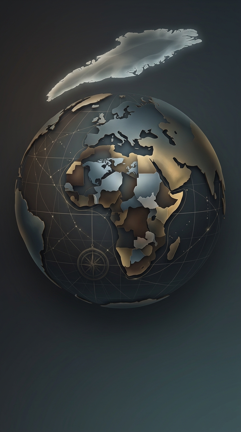
What if Antarctica were at the top of the map

HERE’S THE INTERESTING PART

There is zero scientific reason for north to be firmly fixed at the top of our maps. Rotating the globe so Antarctica sits at the top is completely geographically accurate, yet it violently upsets our deeply ingrained spatial biases.
What if Antarctica were at the top of the map
STACKY / Travel
One discovery leads to another.

Keep exploring facts in this topic.

Travel →
STACKY FOR IPHONE

A bigger world.
One discovery
at a time.

Keep discovering with Stacky. Interesting facts in an app that is always within reach.

Download on the App Store
ONE MORE DISCOVERY?

Keep exploring

All in this topic →
Why oil companies gave away road maps
Travel

Why oil companies gave away road maps

Oil executives happily handed out completely free navigational guides for one aggressively simple reason: they desperately needed you to get hopelessly lost…

Discover more
Why wrestling with a paper map feels adventurous
Travel

Why wrestling with a paper map feels adventurous

Clinging to analog navigation provides a false sense of rugged survivalism in an otherwise modern outing. The struggle to prevent the giant sheet from tearing…

Discover more
Why a giant map won’t keep you from getting lost
Travel

Why a giant map won’t keep you from getting lost

Unfolding a giant sheet of cartography makes you look incredibly distinguished right up until the wind folds it backward into your face. It is mostly a highly…

Discover more
South America is farther east than you think
Travel

South America is farther east than you think

Throw out your mental map of the Americas completely. The entire continent of South America is positioned so far eastward into the Atlantic that its…

Discover more
Standard world maps utilizing the Mercator projection aggressively distort the physical size of landmasses near the poles, making countries like Greenland and Russia appear…
Travel

Standard world maps utilizing the Mercator projection aggressively distort the physical size of landmasses near the poles, making countries like Greenland and Russia appear…

Standard world maps utilizing the Mercator projection aggressively distort the physical size of landmasses near the poles, making countries like Greenland and…

Discover more
Why do major cartographers and digital map apps intentionally include fake towns and non-existent streets?
Travel

Why do major cartographers and digital map apps intentionally include fake towns and non-existent streets?

Why do major cartographers and digital map apps intentionally include fake towns and non-existent streets?

Discover more
StackyMore discoveries in the app
Download on the App Store