A closer look
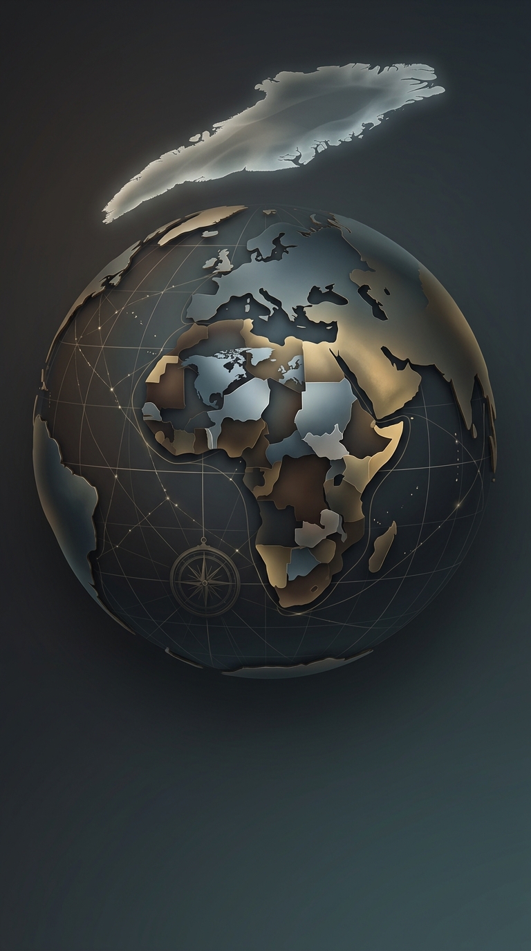
Standard world maps utilizing the Mercator projection aggressively distort the physical size of landmasses near the poles, making countries like Greenland and Russia appear vastly larger than they actually are in reality. This specific map-making technique was originally invented in the sixteenth century solely to help European sailors navigate the oceans in straight lines, but it accidentally resulted in a wildly disproportionate view of global geography that we still blindly trust today. Africa is actually large enough to easily swallow the United States, China, India, and most of Europe combined, yet the map hanging in your elementary school classroom made it look like a tiny afterthought. It just goes to show that even your fundamental understanding of the planet you are traveling across is based on a five-hundred-year-old nautical lie