Coordinates Turn an Ordinary Walk into a Search
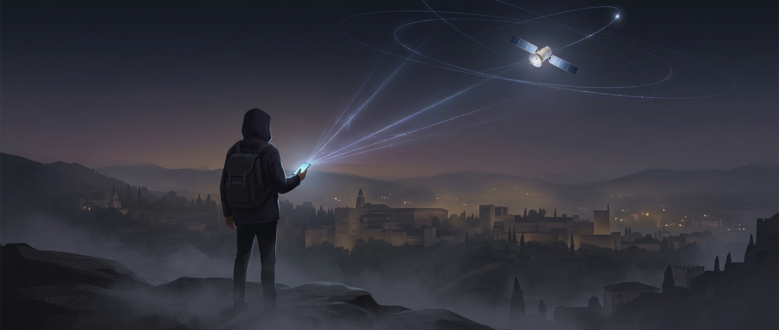
A geocache hunt starts with a set of coordinates, not a satellite watching for a container. Satellites broadcast the time and their positions; a phone or handheld GPS receiver compares signals from several satellites to estimate its own location. The player follows that estimate toward the posted spot, often through a park, neighborhood, or trail.
The final stretch is usually the puzzle. Satellite positioning can be imprecise near buildings, cliffs, or dense tree cover, and a device may point to a nearby patch of ground rather than the exact hiding place. The seeker then has to inspect the surroundings: a hollow in a tree, the underside of a bench, or another hiding spot that fits the description.
The Hide Has to Be Findable—and Leave Little Trace
A cache’s placement is a small design problem. It should be concealed enough to reward looking, yet reachable without damaging plants, disturbing wildlife, or sending searchers onto unsafe ground. Containers are commonly tucked into places where they blend into the landscape, which is why a promising location can look unremarkable until someone knows to examine it.
Inside, the logbook makes the find tangible: visitors record that they reached the coordinates, then return the cache to its hiding place for the next person. The ritual turns a public path into a sequence of chosen details—a particular tree, rock, or corner—that most passersby would never notice. A satellite supplies the direction; the last few feet belong to the searcher.