A road disappears beneath the snow
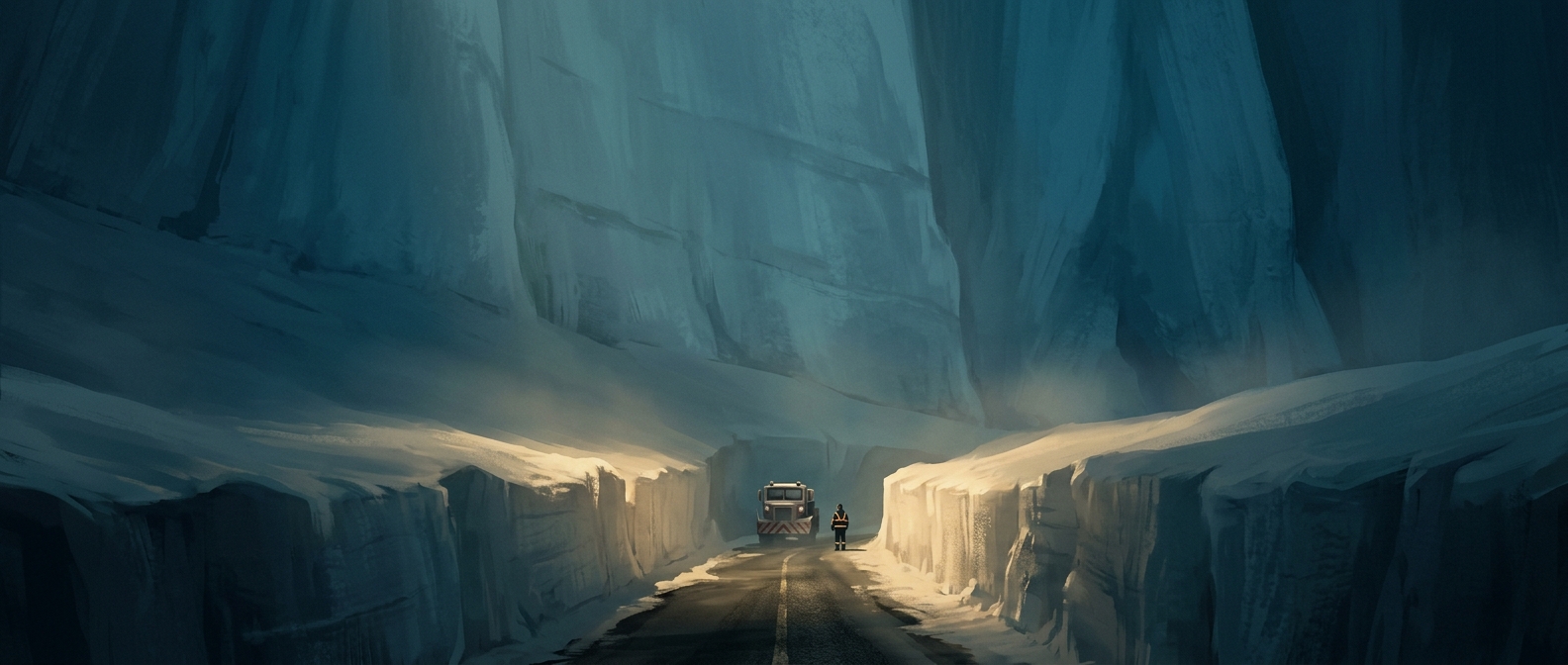
On the Tateyama Kurobe Alpine Route in central Japan, winter can bury the high mountain road beneath enormous drifts. Moist air moving in from the Sea of Japan meets the steep mountains and rises, cooling as it goes; the resulting snowfall can be exceptionally heavy at high elevations. The route closes for winter, leaving the road hidden under a deep, continuous cover of snow.
When crews reopen it in spring, they cannot simply follow the pavement by sight. Plows use GPS—satellite positioning that indicates a vehicle’s location—to trace the road’s buried alignment. They cut a narrow passage through the snow, clearing a route for vehicles and visitors while leaving the snow packed high on either side.
How a road cut becomes a landmark
The exposed sides of the cut form the towering walls known as the snow corridor. In places, they can reach about 60 feet, or 18 meters, high. Their height reflects the depth of snow accumulated over the closed road; the walls are not built separately but are the edges left behind as the passage is excavated.
Visitors can walk between those walls during the seasonal opening. The experience makes the mountain’s winter accumulation visible at human scale: a road that was once buried becomes a passage through a mass of snow. As the season advances, the walls gradually melt, so the striking corridor is a temporary feature of the spring reopening.