Why smooth-looking skies can still turn rough
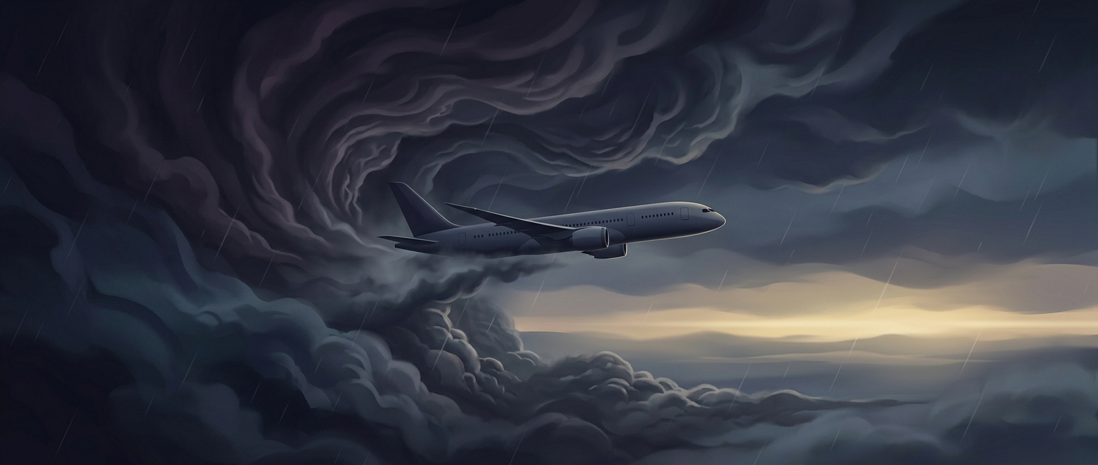
Clear-air turbulence is a sudden change in airflow that jolts an aircraft even when the sky appears cloudless. Unlike turbulence around visible storm clouds, it can be difficult for pilots to spot in advance with ordinary onboard weather radar. The key is not a visible obstacle but a sharp difference in wind speed or direction between neighboring layers of air—a condition called wind shear.
The jet stream’s role
The jet stream is a fast-moving band of air high in the atmosphere, and busy flight corridors often cross it. As global temperatures rise, the atmosphere’s patterns of heat and wind change. Those changes can strengthen or rearrange the shearing flows around the jet stream, making conditions favorable for clear-air turbulence in some regions. An aircraft passing through a small turbulent patch can be shaken abruptly, despite no obvious weather outside.
Analyses of the North Atlantic have found a substantial rise in severe clear-air turbulence since the late 1970s, consistent with the concern that a warming climate is changing the atmosphere in ways that affect flight conditions. The trend is not a forecast that every route will become rougher equally: turbulence varies by location, season, altitude, and weather pattern.
Why a brief patch matters
The turbulence itself may last only moments, but its unpredictability makes it a safety concern. A seat belt can keep a passenger from being thrown upward when the plane hits rough air, which is why crews advise keeping it fastened while seated even when the ride feels smooth. On a clear day, the most important warning may be a simple one: calm-looking skies do not guarantee calm air.