The small divide that changed Chicago’s river
Chicago sits near a low divide between two drainage basins: water on one side can flow toward Lake Michigan and the Great Lakes, while water on the other can reach the Mississippi River. The city’s original river flowed into Lake Michigan, where Chicago also drew much of its drinking water. As the city grew, sewage discharged into the river threatened that supply.
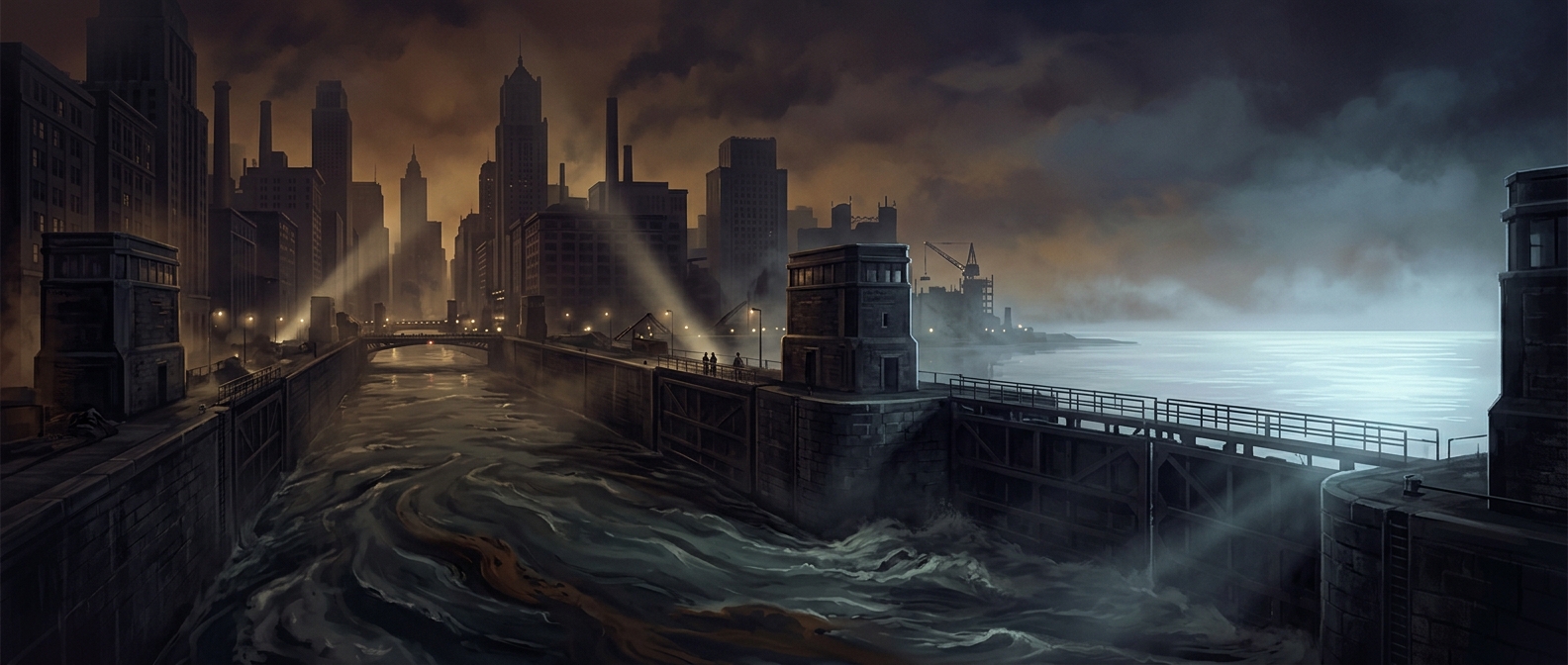
Engineers cut the Chicago Sanitary and Ship Canal through the divide, linking the river to the Des Plaines River. The canal opened in 1900. By creating a lower route westward, it drew water out of the Chicago River and away from the lake. This was not a pump turning the river around; the channel’s slope let gravity do the work.
A solution with a downstream cost
The new route carried sewage and river water into the Des Plaines, then the Illinois River, and ultimately the Mississippi. The flow headed toward the St. Louis region, but it did not empty into the city itself: the Illinois joins the Mississippi north of St. Louis.
Reversing the river addressed a local danger by shifting pollution downstream. It also made the canal a major piece of regional water infrastructure, not just a drainage ditch. The lasting consequence is visible in the map: a river that once emptied into the Great Lakes was redirected into the Mississippi basin, carrying Chicago’s waste across a watershed boundary.