A Waterway Built to Follow the Mountain
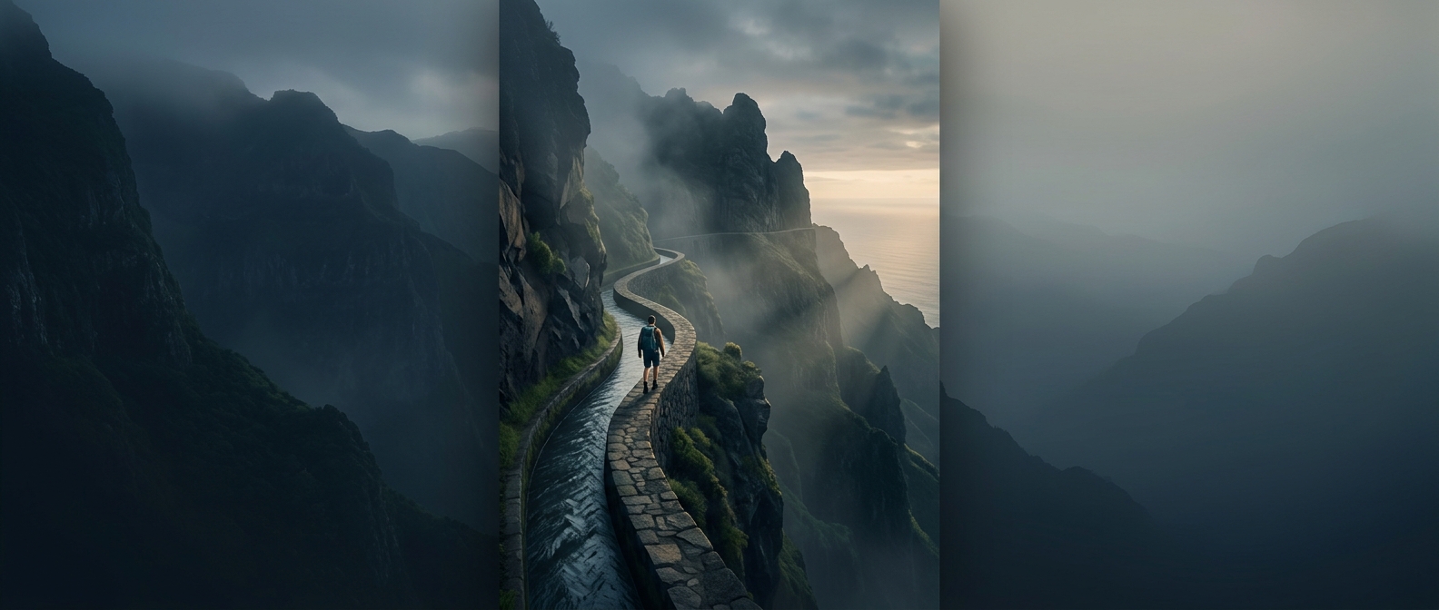
Madeira’s steep volcanic slopes make moving water a problem of both distance and control. Rain and springs are concentrated in the island’s highlands, while farms and settlements on the warmer, drier coast need water lower down. A levada carries water sideways across the landscape, following the contours of a slope so gravity can keep it flowing without letting it rush straight downhill.
That route is rarely a straight line. Where a ridge blocks the way, builders cut tunnels through rock; where a ravine interrupts the channel, they had to find a way to carry it across. The result is a network shaped as much by the island’s obstacles as by its destination. Its gentle gradient is essential: too steep, and fast-moving water could erode or escape the channel; too level, and it would stall.
The Path Beside the Water
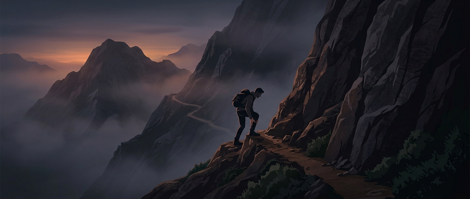
A levada is also a working system, not just a channel carved into a scenic cliff. Its narrow accompanying path gives people access to inspect and maintain the waterway—clearing debris, checking damage, and keeping the flow moving. That practical strip is why many routes place walkers on ledges above ravines or inside dark tunnels: the trail follows the infrastructure because it was built to serve it.
The same design that made water distribution possible now lets hikers experience the island’s terrain at close range. On a levada walk, the striking view is inseparable from the engineering: the path clings to the cliff because the watercourse has to hold a steady, gravity-driven line across it.