A land route from Africa to the edge of Siberia
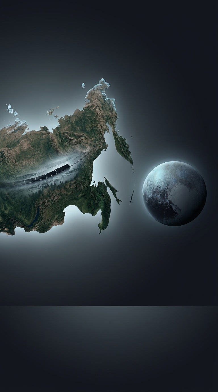
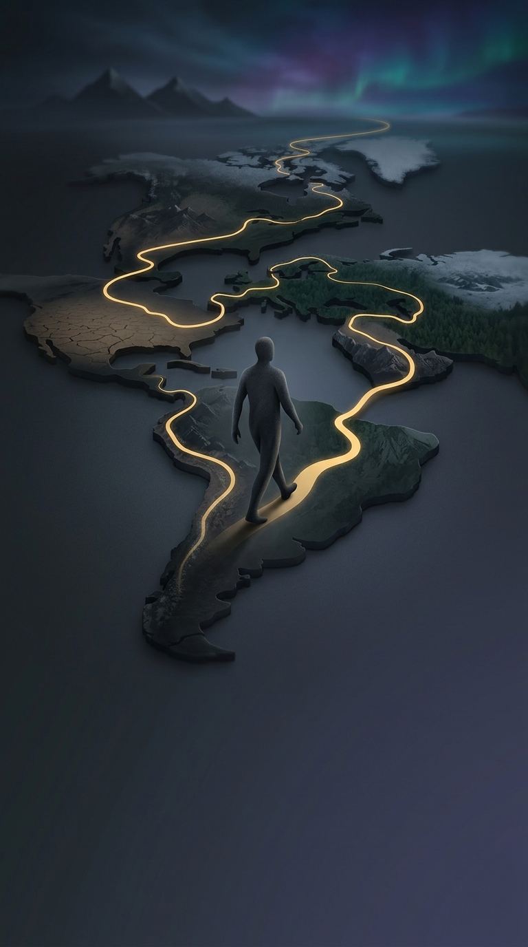
The route works because Africa and Eurasia are connected by land. From South Africa, a traveler can head north through the continent and cross into Asia by way of Egypt’s Sinai Peninsula, then continue across the immense connected landmass toward Magadan in Russia’s Far East. No ocean crossing is necessary.
“Walkable” describes that geographic continuity, not a single uninterrupted footpath. The route is a theoretical path through roads and other land connections; stretches may lack sidewalks or safe places to walk, and border crossings can impose their own restrictions.
Why the distance becomes so extreme
L’Agulhas lies near Africa’s southern tip, while Magadan is far to the northeast, on the Sea of Okhotsk. Reaching between them means traveling around coastlines, across deserts and mountains, and through the broad interior of several continents. The route is not a straight line: the land and the roads that cross it determine where a person can go.
The estimate of roughly 4,500 hours assumes continuous walking. In real life, sleep, food, weather, terrain, visas, and closed or dangerous areas would turn that figure into a journey measured in months or longer—and could make parts of the route impossible at a given time. Crossing 16 countries also means repeatedly confronting different borders, climates, and security conditions.
Connected does not mean easy
The striking part is the distinction between a route that exists on a map and one a person can actually travel. The continents provide a continuous land corridor, but politics, infrastructure, and terrain decide whether any particular stretch is usable. The route’s “walkability” is therefore a statement about geography, not a promise of a safe or practical expedition.