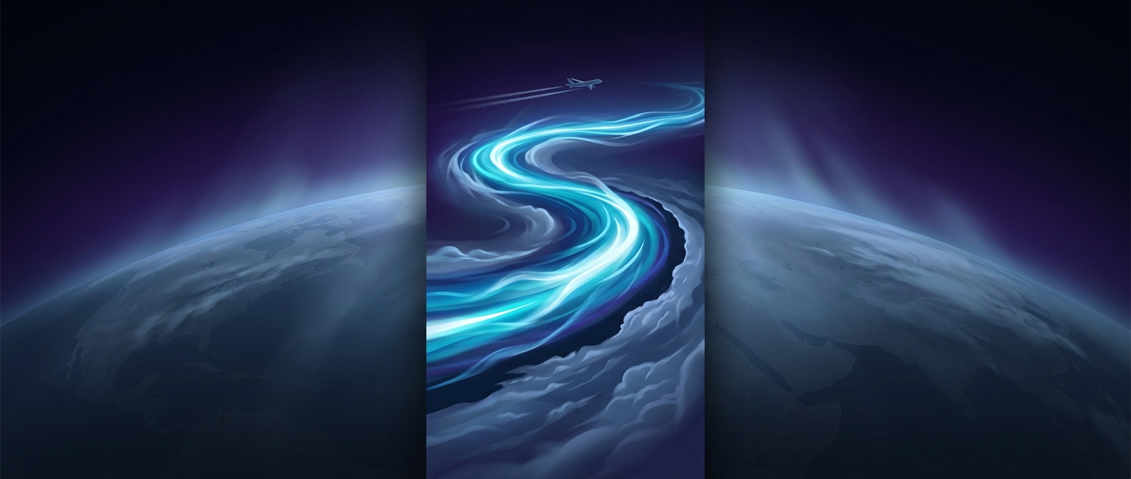
What keeps a jet stream moving so fast?
Jet streams are narrow bands of especially strong wind high in the atmosphere, near the boundary between the troposphere—the layer where most weather occurs—and the stratosphere above it. Their power comes largely from a temperature contrast: warm air lies nearer the equator, while colder air sits toward the poles. That contrast creates differences in air pressure with height, helping drive winds from west to east.
Earth’s rotation then shapes those winds. As air moves across the globe, the rotation deflects its path, concentrating some of the flow into fast-moving currents. The result is not a solid tube of air but a shifting zone of strong winds that weather systems can move through.
Why the route bends
The jet stream’s path changes as high- and low-pressure weather systems develop and push against it. Mountains and the uneven heating of land and ocean can also influence its shape. Instead of following a straight line, the current forms broad waves, with bends that can deepen, shift, or weaken over time.
Those waves matter because the jet stream helps steer storm systems. A storm caught in a strong west-to-east flow can travel quickly along it; a change in the flow’s route can guide the storm toward a different region. The bends also help separate air masses: one side may draw warmer air poleward, while another pushes colder air toward lower latitudes.
A moving boundary, not a weather forecast
A jet-stream bend does not by itself guarantee a heat wave, cold snap, or storm. Local weather depends on other conditions, including moisture and pressure patterns. But the stream’s changing route helps set the large-scale paths those conditions follow. That is why a shift high above the ground can help determine which communities wind up beneath a storm—or on the warmer or colder side of it.