Why Oaxaca’s mountain roads zigzag
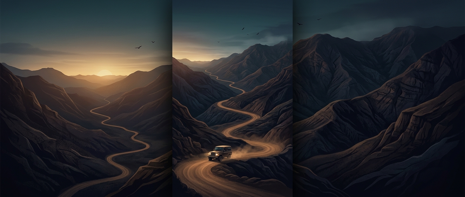
In Oaxaca’s highlands, a road often cannot take the straight line between two villages. The land rises and folds too sharply: a direct route would demand a climb too steep for ordinary vehicles and difficult to keep passable. Instead, the track bends back and forth across the slope, gaining height in smaller increments. Each turn trades distance for a gentler ascent.
That geometry is why a short stretch on a map can become a long, slow journey. Drivers have to negotiate repeated bends, changing gradients and uneven surfaces, rather than simply covering ground at highway speed. On narrow roads, an approaching vehicle can also mean easing around a blind corner or finding room to pass.
The road follows the mountain—and its limits
Many rural routes are unpaved, so rain can loosen the surface, carve channels or leave muddy patches; dry conditions can make it rough and dusty. The road’s shape is therefore only part of the challenge. Its condition changes how steadily a vehicle can climb and how carefully it must descend, especially where the hillside drops away beside the track.
These roads are practical links through terrain that would otherwise make nearby communities much harder to reach. Their winding course is not an accidental detour: it is a compromise between the mountain’s steepness and the need to travel across it. A journey that looks close on a map may take hours because the road must keep negotiating the slope, one careful turn at a time.