The pole is fixed; the ice beneath it is not
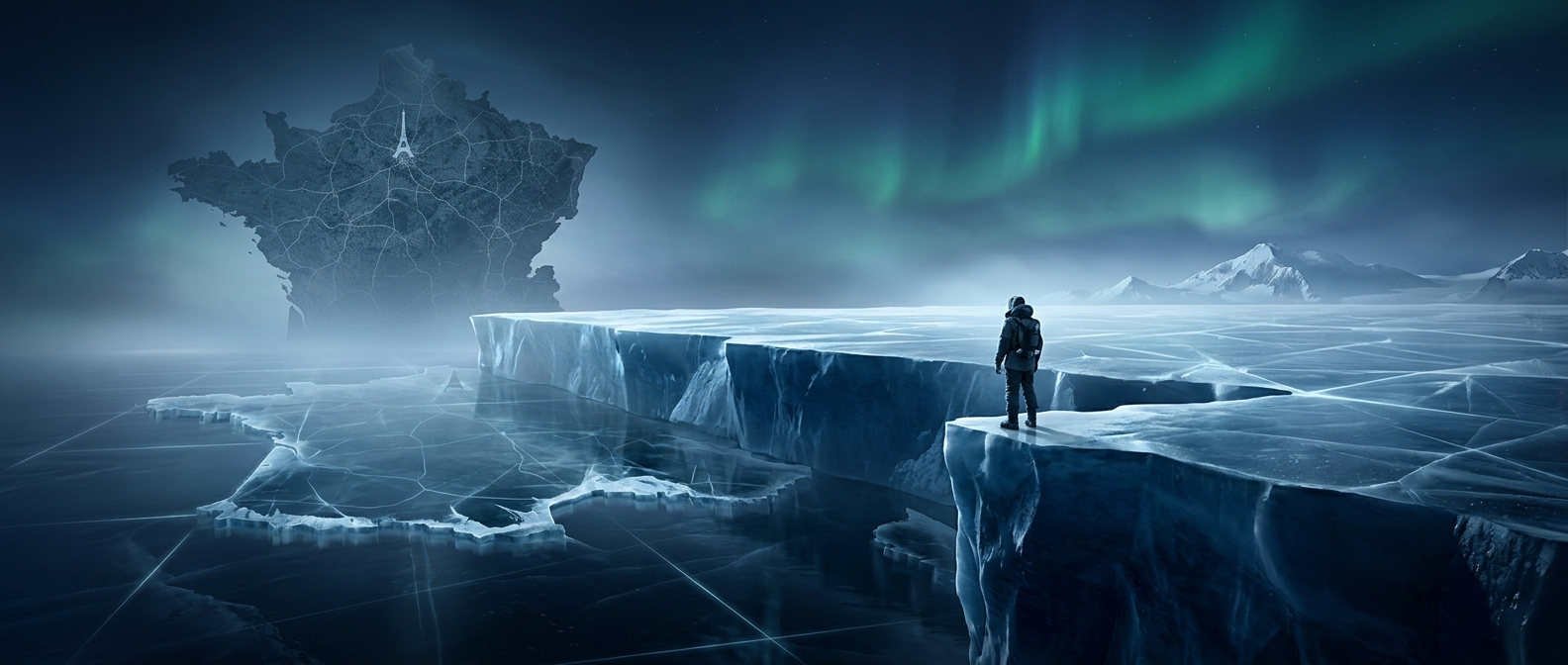
The geographic South Pole is a point defined by Earth’s axis of rotation, not a stake anchored in the ground. At the surface, that point lies on a vast ice sheet. The ice is thick enough to behave like a very slow-moving river: under its own weight, it gradually deforms and flows outward from the high interior toward the coast.
A marker placed on the ice travels with it. So even though the geographic pole remains the same reference point on Earth, the patch of ice carrying the marker drifts away from that point over time.
Staff reset the marker against a surveyed position
At the Amundsen–Scott South Pole Station, staff determine where the geographic pole falls on the shifting ice and reposition the ceremonial marker there. The marker is a visible tribute to the pole, distinct from the surveyed location used to identify the geographic point. Repeating the placement each year keeps the ceremony tied to the pole rather than to the moving ice beneath it.
The correction is a small but striking example of how a place can be stable in a global coordinate system and still move across the landscape visitors see. At the South Pole, the marker’s annual reset makes that slow drift visible.