How latitude and longitude turn the globe into an address
A map grid works because Earth’s surface can be measured in two directions. Latitude tells how far a place lies north or south of the equator, the zero-degree line halfway between the poles. Longitude tells how far east or west it lies from the prime meridian, the reference line that runs through Greenwich, England. Together, the two measurements identify a point where those lines cross.
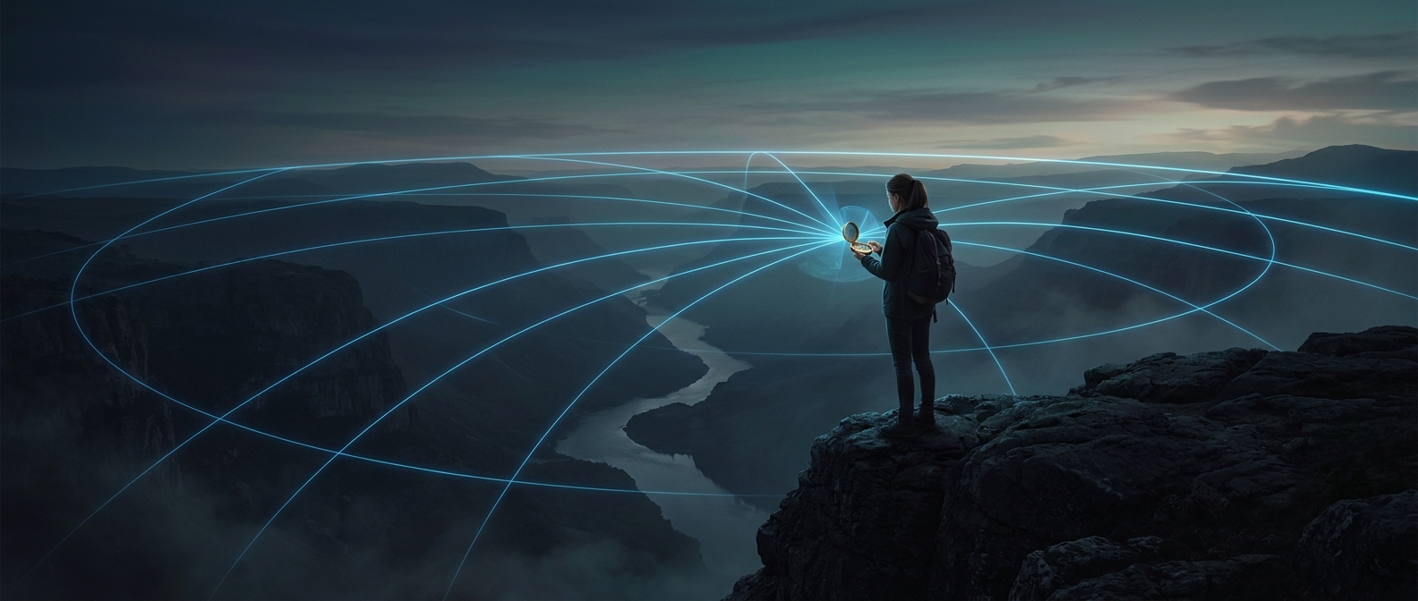
The lines are imaginary, but the geometry is real: lines of latitude circle the planet parallel to the equator, while lines of longitude run from pole to pole. Latitude lines stay evenly spaced; longitude lines draw closer together toward the poles, where they meet.
Reading the numbers
Coordinates are usually written as latitude first, then longitude. A location might be described in degrees, minutes and seconds, or in decimal degrees. The direction matters: a latitude marked north is on one side of the equator, while south is on the other; east and west distinguish the two sides of the prime meridian. A missing direction—or swapped pair of numbers—can point to a very different place.
The system scales from broad orientation to fine detail. Degrees divide the globe into large slices; minutes and seconds, or decimal fractions of a degree, narrow the location to smaller areas. That makes coordinates useful not only for cities and roads, but also for a vessel at sea, a trail junction, or a point with no nearby landmark.
Why the grid matters away from roads
Street addresses depend on local naming systems, and landmarks can be hard to describe in an open landscape. Coordinates provide a shared reference that travelers, maps and navigation devices can use regardless of what a place is called. They do not describe the terrain or tell you how to reach the spot, but they give everyone the same starting point: a position on Earth’s surface.