The sea turned time into distance
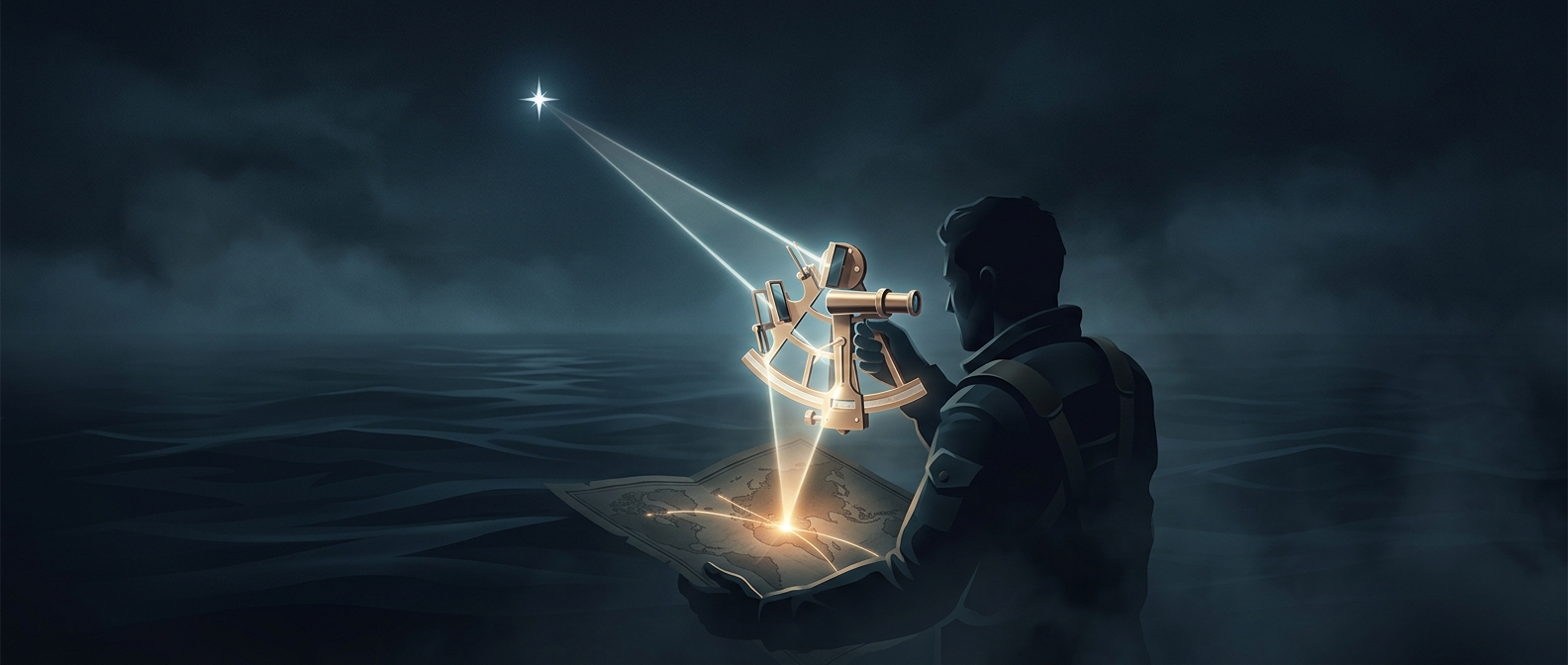
A sailor could find local noon by watching the Sun reach its highest point. But noon aboard a ship did not reveal how far east or west the vessel had traveled. For that, navigators needed a second time: the time back at a fixed reference meridian, an agreed line of longitude.
Earth rotates 360 degrees in about 24 hours, so it turns roughly 15 degrees in one hour. If a ship’s local time was two hours ahead of the reference time, it was about 30 degrees west of that meridian. The comparison converted a difference on a clock into a position on a map.
Why a clock was so hard to keep
The arithmetic was straightforward; carrying reliable time was not. A clock’s pendulum or balance could be thrown off by a rolling deck, changing temperatures, and the ship’s motion. Even a small daily error accumulated over a long voyage, making the calculated longitude increasingly unreliable.
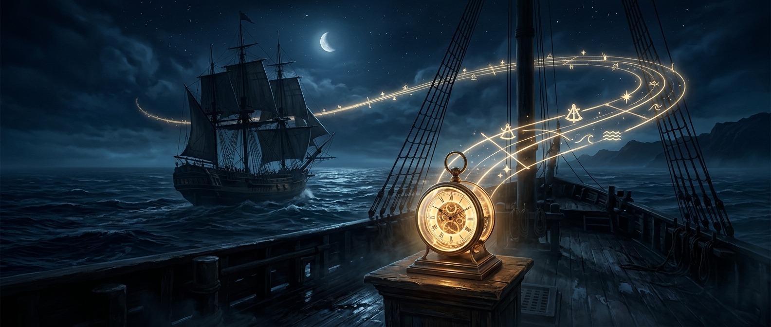
John Harrison tackled the problem by designing clocks that could keep time at sea without depending on a pendulum. His marine chronometers preserved the reference time during a voyage, while sailors determined local time from the Sun. The two readings supplied the comparison longitude required.
A position that changed navigation
Once navigators could estimate longitude more dependably, they could place a ship east or west of a known line instead of relying mainly on latitude and dead reckoning—the practice of estimating position from course and speed. That made routes easier to plan and coastlines less likely to arrive unexpectedly. A clock below deck had become a tool for measuring the vast distance around the globe.