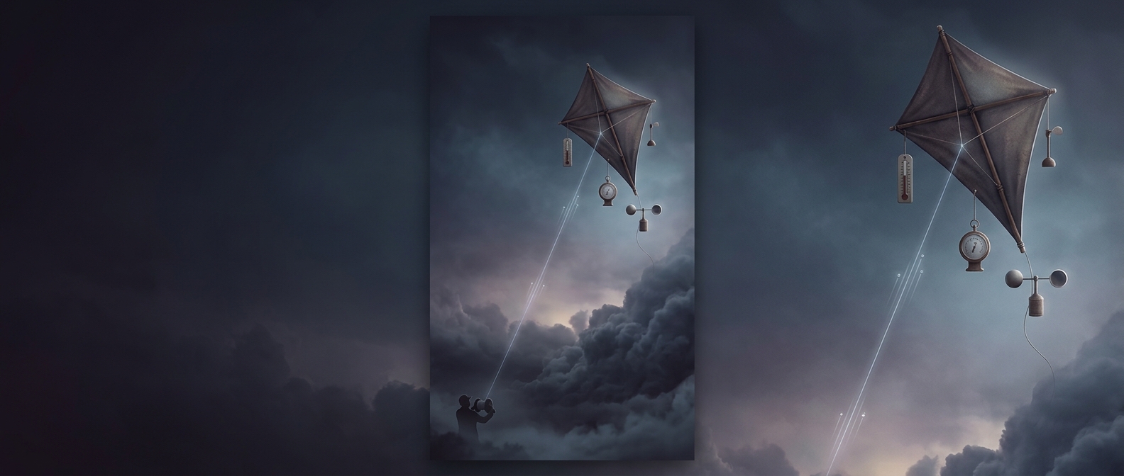
How a Kite Became a Flying Weather Station
A thermometer at ground level can tell forecasters what the air is like where they stand. It cannot reveal how temperature changes above the surface, where clouds form and storms develop. To sample that hidden atmosphere, nineteenth- and early-twentieth-century researchers lifted instruments on kites, turning a simple flying frame into a platform for measurements.
Carrying Instruments Into the Wind
The kite provided lift; a line tethered it to the ground and let researchers control its ascent and bring it back. Small recording instruments, often called meteorographs, could measure several conditions during a flight. Their readings helped show how temperature and other weather variables changed with altitude, information that a single ground station could not supply.
This was a practical solution to a difficult engineering problem. Balloons could rise higher, but they were harder to control and recover. Kites needed a steady wind and could not be sent up safely in every kind of weather, yet they were reusable and comparatively straightforward to operate. Researchers could launch them from a suitable site and retrieve both kite and instruments after the flight.
From Local Readings to Weather Maps
A kite’s measurements were useful beyond the launch site. When combined with observations from other places, they helped meteorologists build a more complete picture of the atmosphere and improve weather analysis and forecasting. The method also made clear that weather is layered: conditions at the surface can differ sharply from those only a short distance above it.
Kites could not provide the continuous, wide-area view later made possible by radar and satellites. But they helped carry weather observation off the ground, one instrument-filled line at a time.