How a low cloud reaches the city
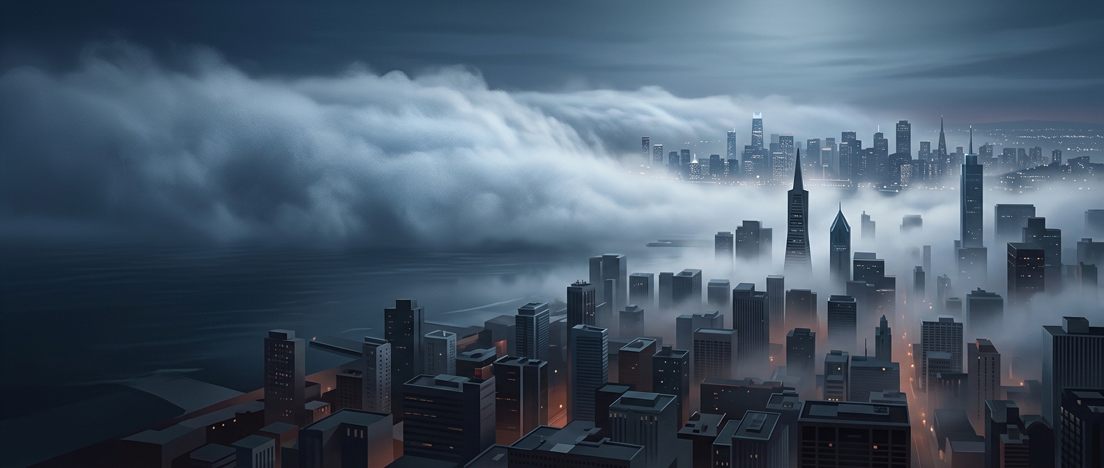
Advection fog begins when humid air travels over a surface colder than the air itself. The air cools from below; once it reaches its dew point—the temperature at which it can no longer hold all its water vapor—the excess vapor condenses into tiny suspended droplets. Wind can then push this shallow cloud across the landscape and into a city.
That horizontal movement is what makes the fog “advective.” It differs from fog that forms in place as the ground cools overnight: here, the key event is air moving across a cooler surface, often from water toward land. The city may be far from where the fog first formed.
Why the fog can persist over urban routes
The incoming air does not have to become dramatically colder to turn foggy. A modest drop can be enough when the air is already humid. If the wind continues to bring in moist air and the ground or water stays cool, droplets keep forming as others evaporate. The fog can therefore advance inland as a broad, shifting layer rather than appearing as a single stationary patch.
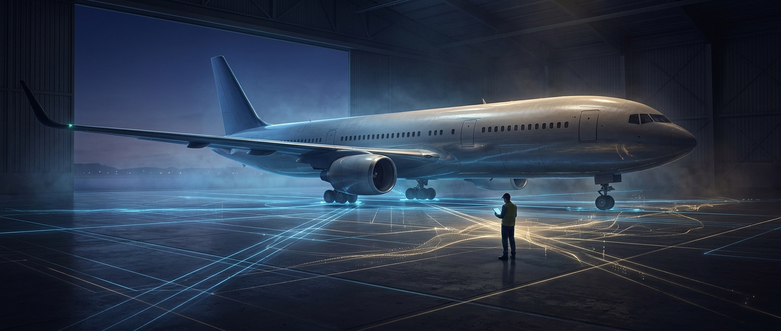
For transport, that movement matters: visibility can deteriorate along roads, runways, and waterfront approaches even when conditions were clearer nearby moments earlier. Drivers and pilots may encounter the fog at its advancing edge, where a familiar route abruptly disappears into a cloud that formed elsewhere.