The route had to fit the city above it
A railway tunnel can be drilled in a straight line, but choosing that line is not simply a matter of drawing the shortest route between two stations. In crowded London, builders had to reach useful places while working around streets, buildings, property boundaries, underground pipes and other railways. A straighter tunnel might have run beneath foundations or required costly agreements to use land below private property.
That constraint was especially visible on early Underground lines built by the cut-and-cover method: workers opened a trench, laid the railway, then covered it again. Following streets made it easier to build without demolishing blocks of buildings. Later deep-level lines could pass beneath more of the city, but still had to connect practical station sites and avoid existing structures and tunnels.
A bend could save money—or make a station possible
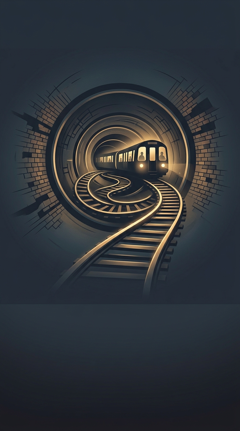
The route also had to serve destinations, not just minimize distance. Curving toward a busy district could bring a station closer to passengers; avoiding an obstacle could prevent expensive construction or disruption. The trade-off was a longer journey, and sharp curves also limit how fast trains can travel comfortably. Engineers therefore use curves that trains can negotiate, rather than bending a tunnel arbitrarily.
The result is a network shaped by layers of decisions made at different times. Each line had to fit into a city already built, and then into a subterranean landscape increasingly occupied by other transport routes and utilities. A map’s winding line is often the visible trace of those compromises: the shortest path was not always the cheapest, buildable or most useful one.