Why a globe’s shortest path bends on a flight map
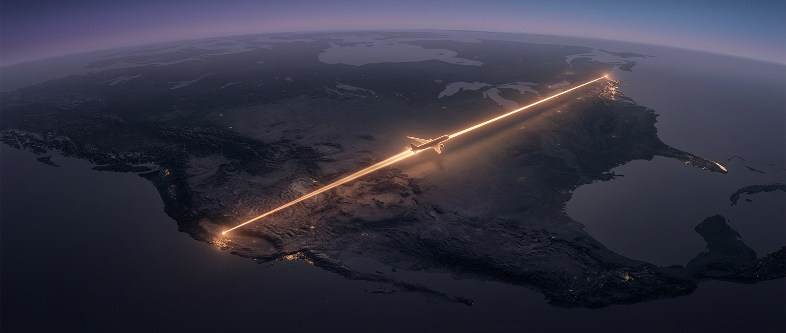
On a sphere, the shortest path between two points follows a great circle: the circle you would get by slicing the globe through its center. Except for routes along the equator or a meridian, that path appears curved when drawn on many familiar flat maps. Flattening a curved surface distorts directions and distances, so a line that looks straight on the page is not necessarily the shortest way around Earth.
That is why a long-haul route can arc toward higher latitudes. The curve is not a detour by itself; it is the flat-map image of a relatively direct route over the globe.
The shortest route is only a starting point
Airlines plan around more than distance. Winds can make one direction of travel much faster than the other: a plane heading east may benefit from a strong tailwind, while a westbound plane may face the same flow as a headwind. Dispatchers compare forecast winds along possible routes because flying a little farther can still save time or fuel if the air helps carry the aircraft along.
The best choice can also change with the weather. Turbulence, storms, and shifting winds may make a route less attractive, while restricted airspace or busy traffic corridors can rule out an otherwise direct path. Air traffic controllers and flight planners use permitted routes and waypoints—specified points aircraft must navigate through—to keep flights separated and moving safely.
A route is a moving calculation
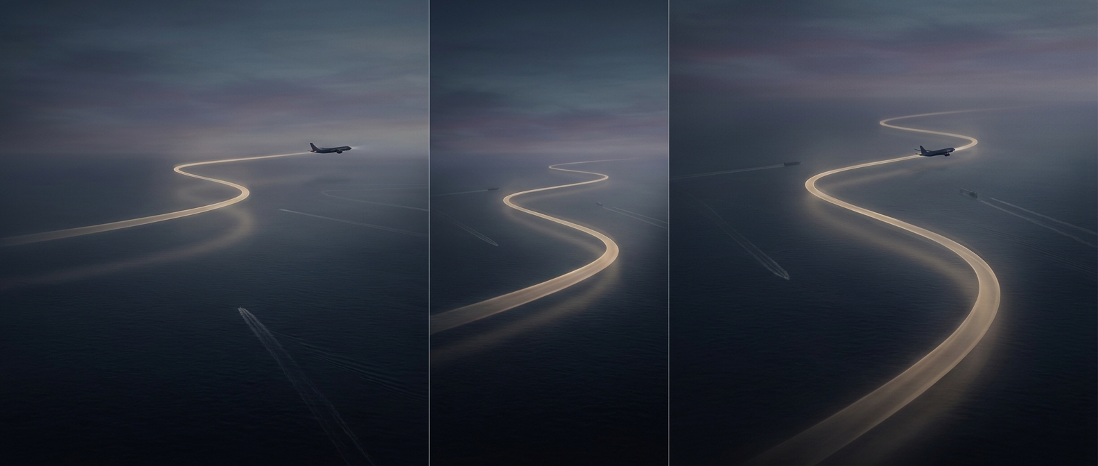
The line shown on a map is therefore a snapshot of several competing needs: distance, wind, weather, fuel, and access to airspace. Those conditions can differ by direction and change during a flight, so the outbound and return journeys may take different paths. A plane’s apparent detour can be the practical shortcut once the atmosphere and the usable routes are taken into account.