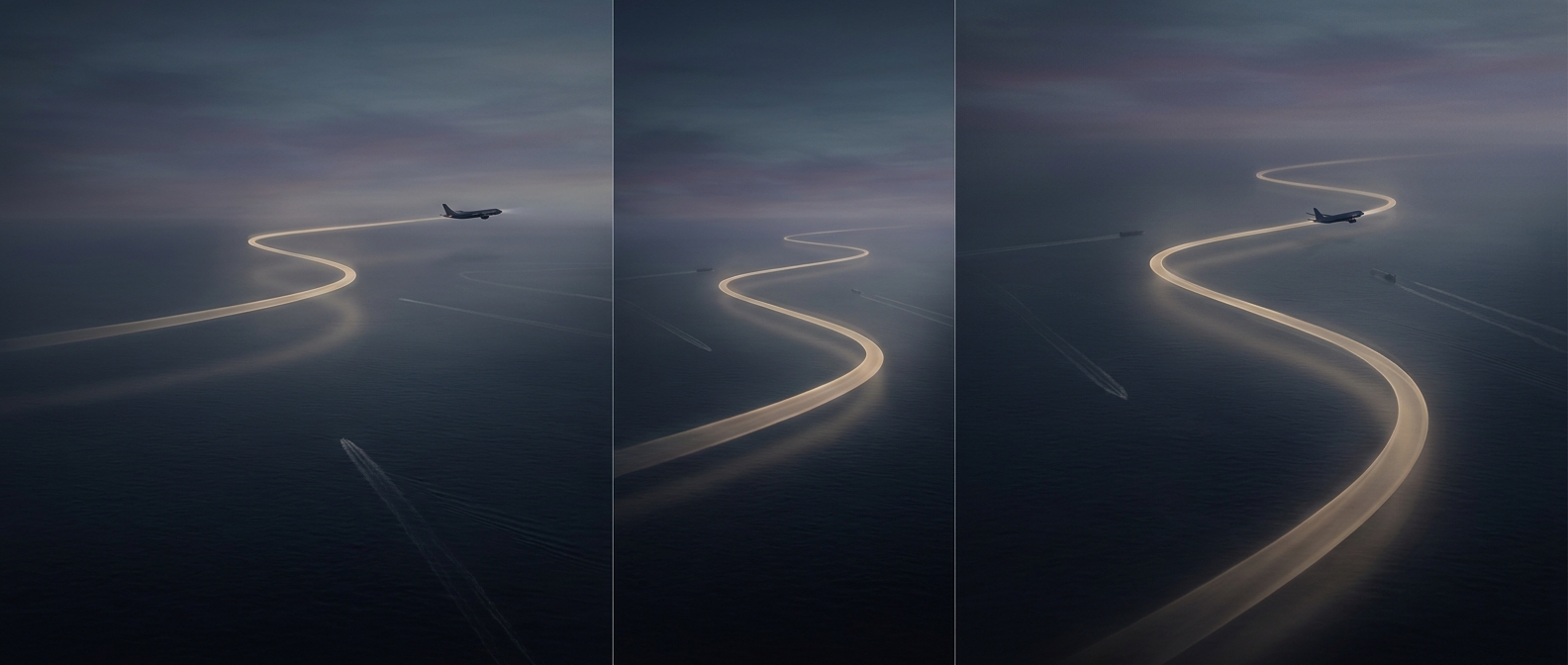
Why the shortest flight can look crooked
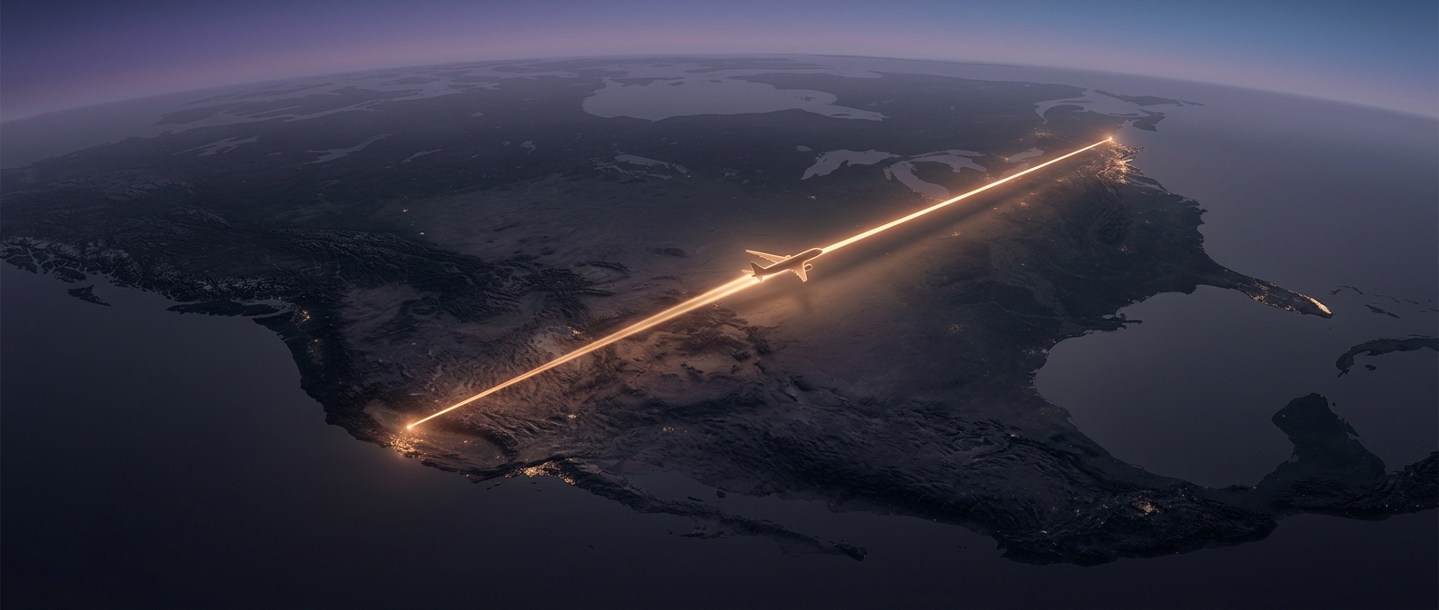
On a globe, the shortest path between two cities is part of a circle whose center is the center of Earth. This is called a great-circle route. Because a globe cannot be flattened onto a map without distortion, that path often looks bowed or oddly angled on a flat screen—especially on maps that stretch distances near the poles.
A familiar example is a flight between North America and Asia. Its route may arc toward the Arctic rather than head due west on a wall map. The plane is not taking a scenic loop: the map’s projection makes a comparatively direct path across the curved surface look indirect.
The route is a starting point, not a rail
Airlines use great-circle paths to plan efficient trips, but aircraft do not simply trace a perfect geometric line. Winds can make a slightly longer route faster or more fuel-efficient; a tailwind pushes the plane along, while a headwind slows it. Planners also account for restricted airspace, weather, traffic, and the need to keep aircraft within reach of suitable airports.
Those factors can shift a flight’s path, and conditions may lead controllers to change it while the aircraft is aloft. The practical route is therefore a balance: the great circle provides a useful baseline, while safety and operating conditions shape the path actually flown.
What the map is really showing
A curved line on a flat route map is not evidence that the aircraft is wandering. It is often the map revealing the shape of Earth—and the limits of drawing a round planet on a rectangle. The same journey can look like a sweeping arc on one projection and much straighter on another, even though the aircraft follows the same path.