How Palm Jumeirah Took Shape
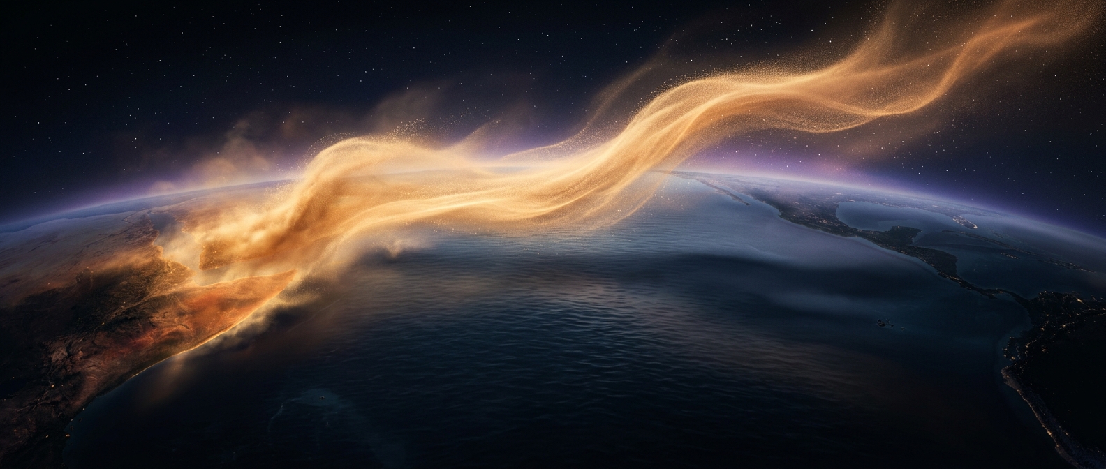
Palm Jumeirah was built by reclaiming land from the Persian Gulf: dredgers scooped up seabed sand, and ships sprayed it through long pipes to form the island’s outline. In this process, known as rainbowing, a vessel sends a broad arc of sand and water toward a marked area. Repeated deposits build up the ground until it rises above the sea.
The palm shape was not simply drawn onto a map. Engineers used satellite positioning to guide the placement of sand, then formed the trunk, fronds, and surrounding crescent that serves as a breakwater. The crescent helps shelter the island from waves, while channels through it allow water to circulate rather than leave the enclosed area stagnant.
The Cost of Moving the Seabed
Reclaimed land needs more than a surface layer of loose sand. Waves can shift it, so the seabed had to be prepared and the fill compacted. Building a large island this way also meant moving enormous quantities of material across a shallow coastal environment.
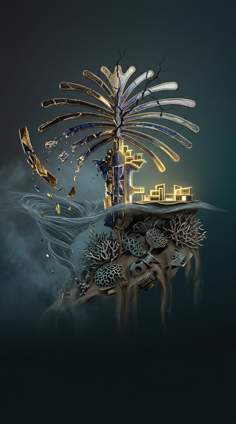
That work altered the marine setting beneath and around the project. Dredging and depositing sand buried coral reefs and disturbed currents that normally move water and sediment along the coast. Those changes matter because reefs provide habitat, while currents help determine where sediment settles and how water circulates.
An Island That Changes Its Coast
The Palm’s visible geometry is therefore also an engineered piece of shoreline. Its crescent redirects waves, and its position changes how water moves around the coast. The same construction that created new land reshaped the seabed and the routes through which Gulf water flows—an impact that continues beyond the island’s beaches and buildings.