How map lines became mystical pathways
The idea of ley lines began with a way of looking at the landscape. In the early 20th century, English writer Alfred Watkins noticed that some ancient sites and landmarks appeared to line up on a map. He proposed that these straight routes might mark old paths used to cross the countryside. A “ley” was his name for such a line.
A map makes distant places look neatly connected: hilltop forts, standing stones, churches, and other landmarks can fall along the same ruler-straight path. But a drawn alignment does not by itself show that people built or traveled along a route. That distinction became less central as the idea spread.
From routes to hidden forces
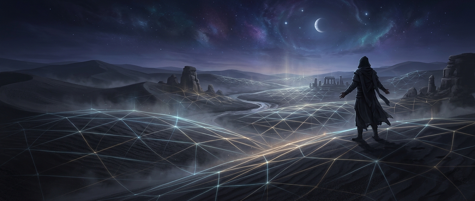
Later writers recast ley lines as channels of Earth energy, giving the concept a spiritual meaning beyond Watkins’s proposed pathways. In that view, places along a line may feel connected even when no visible road joins them. The line becomes a way to imagine a landscape as more than separate sites—as a network with an unseen order.
That shift helps explain the idea’s lasting appeal. A map can invite people to notice patterns and relationships among places they might otherwise experience one at a time. For believers, tracing a ley can turn a walk or a visit into a search for connection; the proposed energy remains part of the belief, not an established physical feature of the ground.