Water carried into the desert
The Nile’s reach through dry country depends on rain falling far beyond much of its desert course. Its two principal branches gather water in different regions: the White Nile draws on the equatorial lake region, while the Blue Nile rises in Ethiopia’s highlands, where seasonal rains swell its flow. They meet at Khartoum in Sudan, forming the river that continues north toward the Mediterranean.
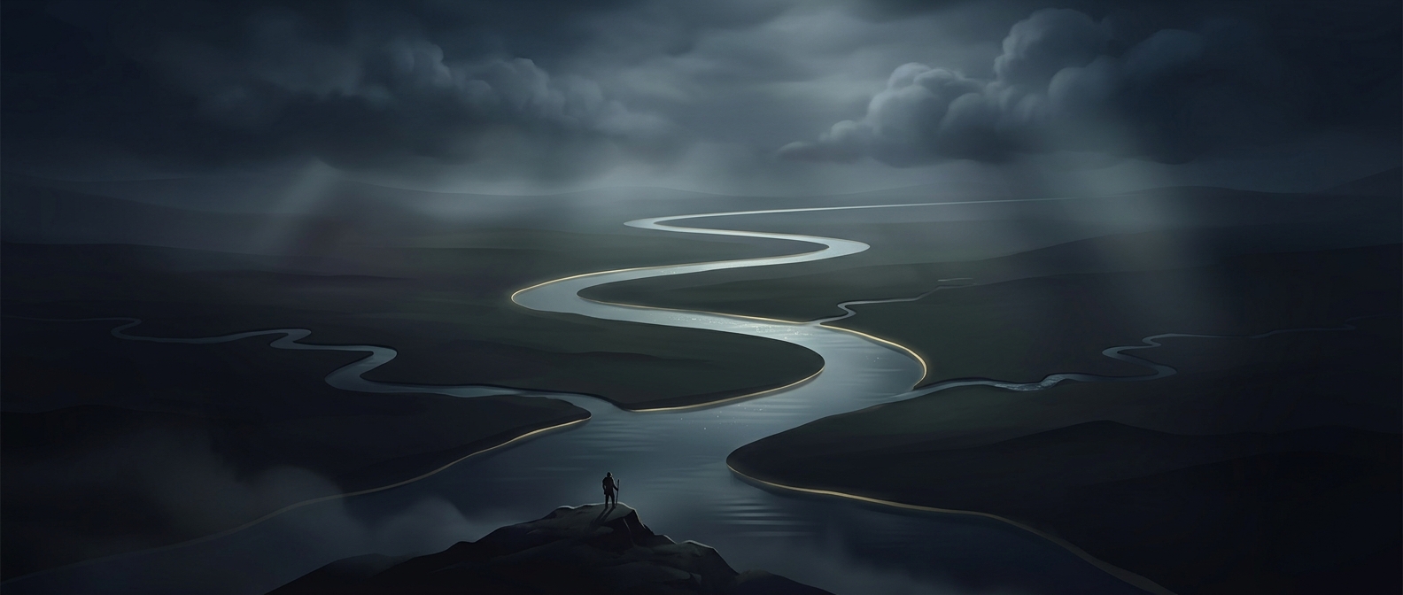
That long journey makes the Nile more than a line on a map. In places where rain is scarce, river water creates a narrow band of land that can support farms and settlements, sharply contrasting with the surrounding desert. Traveling along the valley, the abrupt shift from dry landscape to cultivated riverbank is a visible reminder that the water has traveled from distant, wetter headwaters.
Why “longest” can be complicated
River length sounds like a simple measurement, but it depends on where a river’s source is judged to begin and which winding channels are counted. The Nile is commonly described as the world’s longest river, though comparisons with other major river systems can vary with those choices.
The river’s seasonal behavior has also changed. Before the Aswan High Dam regulated its flow, annual floods brought water and fertile sediment onto parts of the valley. Today, the dam stores and releases water, reducing the natural flood cycle. The Nile still links distant landscapes, but the water reaching a particular stretch is shaped not only by rainfall upstream, but also by reservoirs and human decisions along the route.