One highway name, many different landscapes
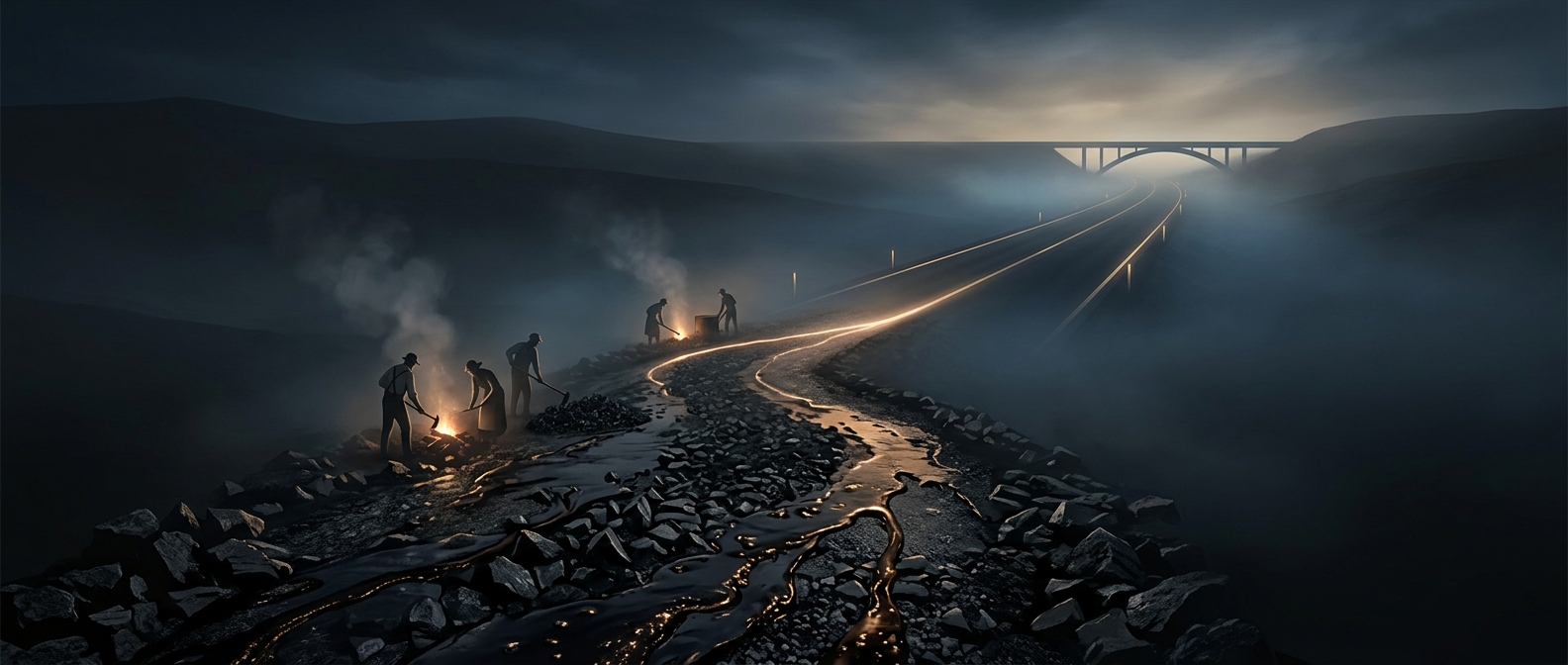
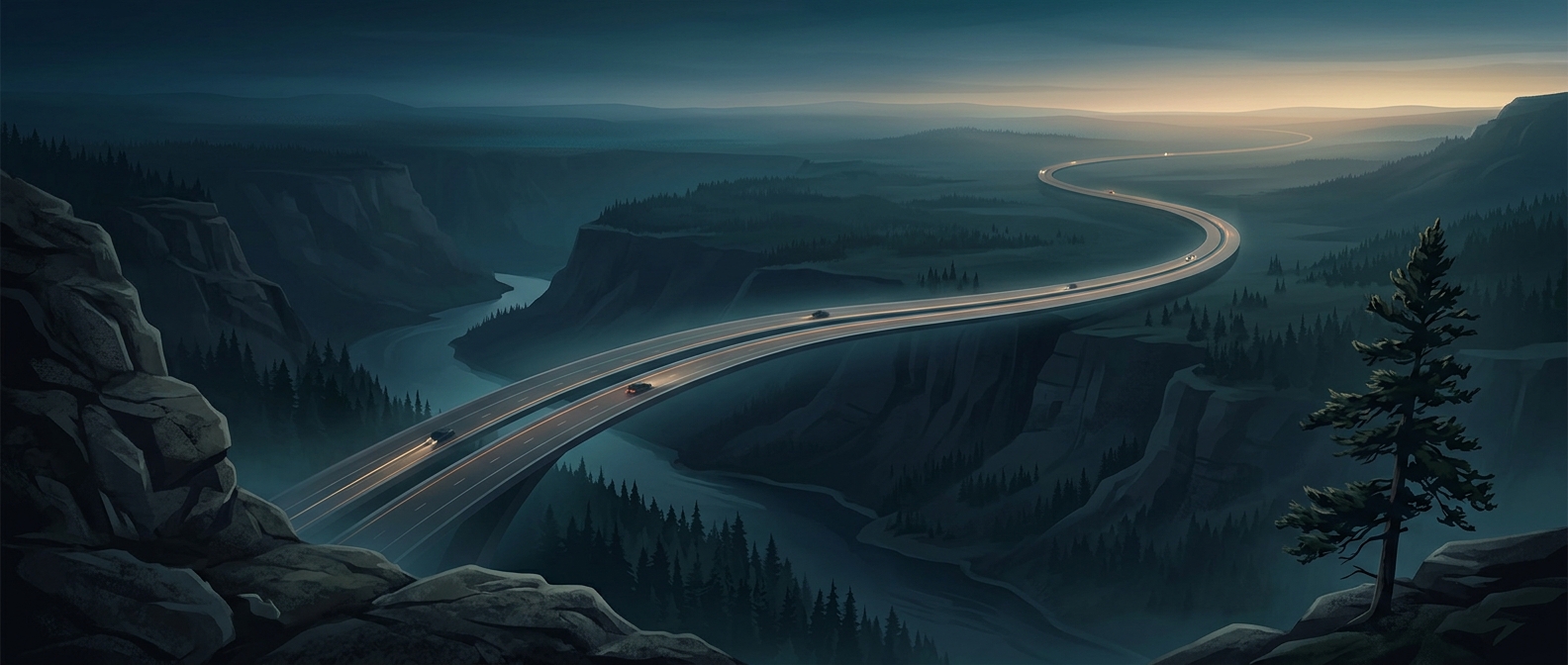
The Trans-Canada Highway is better understood as a national route assembled from roads across the provinces than as one uniform strip of pavement. Its character changes with the land beneath it: long, level prairie stretches give way to the steep grades and weather-exposed passes of the Rocky Mountains, then to forested regions and the rock-and-lake terrain of the Canadian Shield.
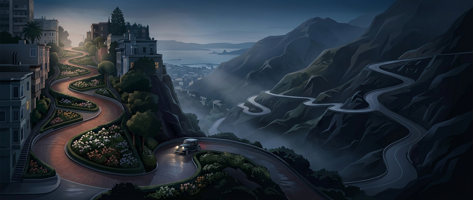
Those changes shape the experience of the journey. In the mountains, curves and elevation gain demand more attention than the wide-open prairie does. Across the Shield, lakes and bedrock constrain where roads can go, so the route winds through a landscape that resists straight lines.
A route built around connections
The highway’s importance comes from linking existing communities and regional road networks, not from making the country seem small. A driver can travel between distant parts of Canada while remaining on the national route, but the road is not identical everywhere: its construction, terrain, and surrounding towns differ from province to province. In places, travel also depends on a ferry connection, a reminder that Canada’s geography includes major waterways as well as land.
That variety is part of what makes the trip memorable. A single journey can move from open farmland to mountain passes and shield country, with the road itself changing to meet each landscape.