Why helicopter routes become corridors
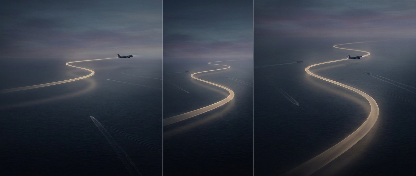
Near a major airport, a helicopter may have to share airspace with airliners climbing out, descending toward runways, and aircraft following other established routes. A corridor gives pilots a defined path through that traffic rather than leaving each flight to choose its own way across the map. Controllers can use the route to anticipate where a helicopter will be and coordinate its passage with other aircraft.
Altitude is part of the route
A corridor is not just a line on a chart. It can include altitude instructions that separate traffic vertically, much as lanes separate vehicles horizontally. A helicopter assigned one altitude is less likely to conflict with an aircraft using the same area at another height—but the separation works only when pilots follow instructions and controllers account for nearby traffic.
Helicopters can fly more slowly and maneuver differently from fixed-wing aircraft, but that flexibility does not make busy airspace simple. A pilot may need to cross an airport’s arrival or departure paths, where airliners are moving quickly and have limited options to change course. A published route gives everyone a more predictable starting point; air traffic control may still issue changes when conditions require them.
A mapped path, not an invisible wall
Corridors help organize movement, but they do not physically fence aircraft in. Weather, traffic, and operational needs can affect how a flight proceeds, and pilots remain responsible for following applicable clearances and avoiding hazards. The practical benefit is predictability: when each aircraft has an expected route and height, controllers have a clearer picture of who may meet whom—and where.