A map became useful only when the landscape matched it
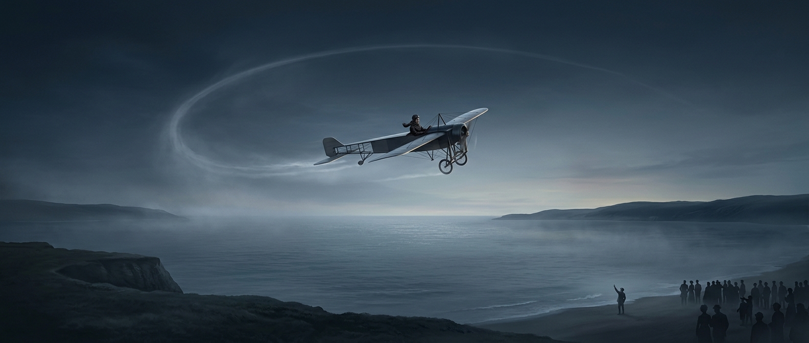
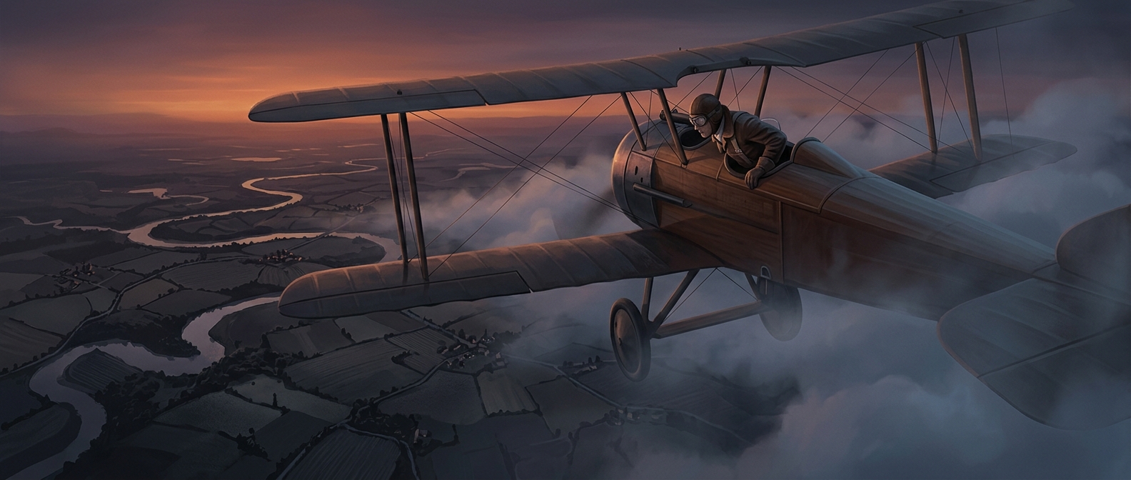
In early flight, a pilot could not simply follow a reliable instrument display from one point to another. Navigation often meant comparing what was visible below with a paper map: a bend in a river, a railway cutting across fields, or a road leading toward a town. Each match confirmed the aircraft’s position and helped the pilot choose the next stretch of route.
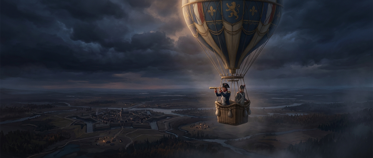
This was more than spotting a landmark. The pilot had to recognize it from above, where familiar roads and rivers looked different, then orient the map and judge how far the aircraft had traveled. A route with distinctive features was easier to follow than one crossing a broad, uniform landscape.
Weather could erase the reference points
Clouds did not merely make the view unpleasant; they could remove the very information the pilot used to navigate. If the ground disappeared, the pilot could no longer check whether the aircraft was still over the expected river or rail line. Wind could also push the aircraft off course, so following a heading or estimating travel time was not always enough to know its actual position.
That made visibility part of the navigation system. Pilots had reason to favor routes with recognizable landmarks and to treat a cloud-covered stretch as a serious practical obstacle, not just a change in scenery.
The route depended on what could be seen
The method tied a flight’s path to the shape of the land. A railway or river could serve as a guide, but only while it remained visible and identifiable; a detour to regain a clear landmark might be more useful than pressing on without one. Before dependable instruments could take over more of the work, the ground was not background to a flight. It was the evidence pilots used to tell where they were.