Why turbulence can hide from weather radar
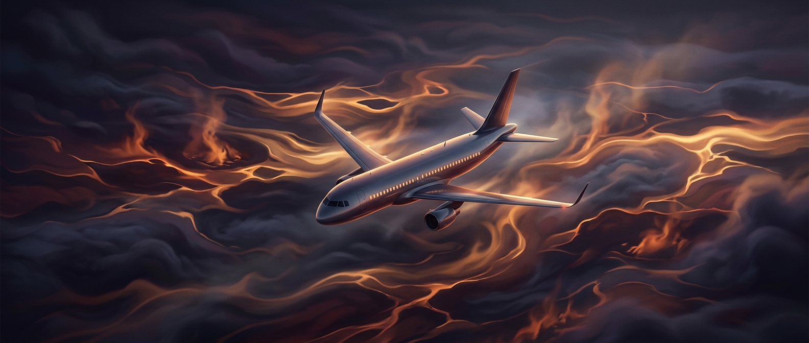
An aircraft’s weather radar is mainly a precipitation detector. It sends out radio pulses and measures how much energy returns after striking raindrops or other water particles. Stronger returns help the crew map storm cells and avoid areas of heavy precipitation.
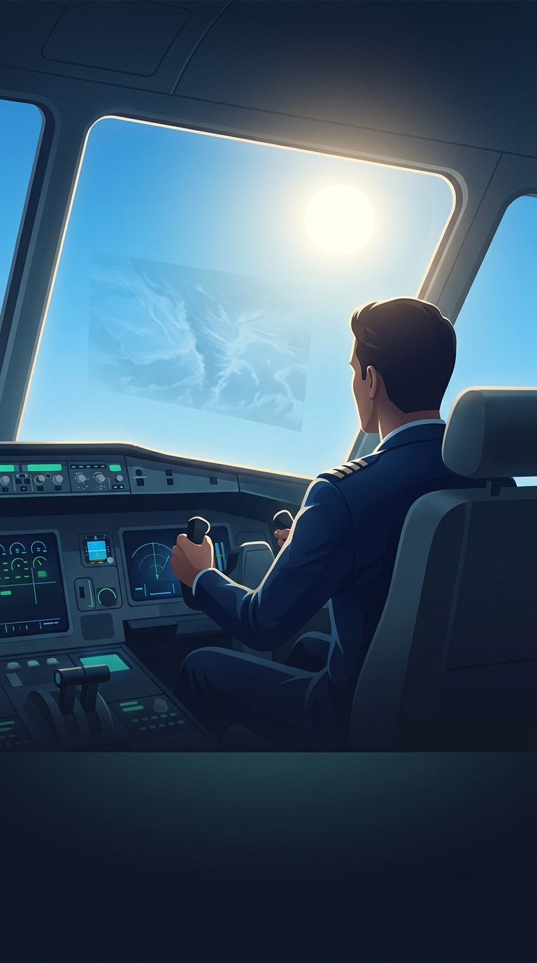
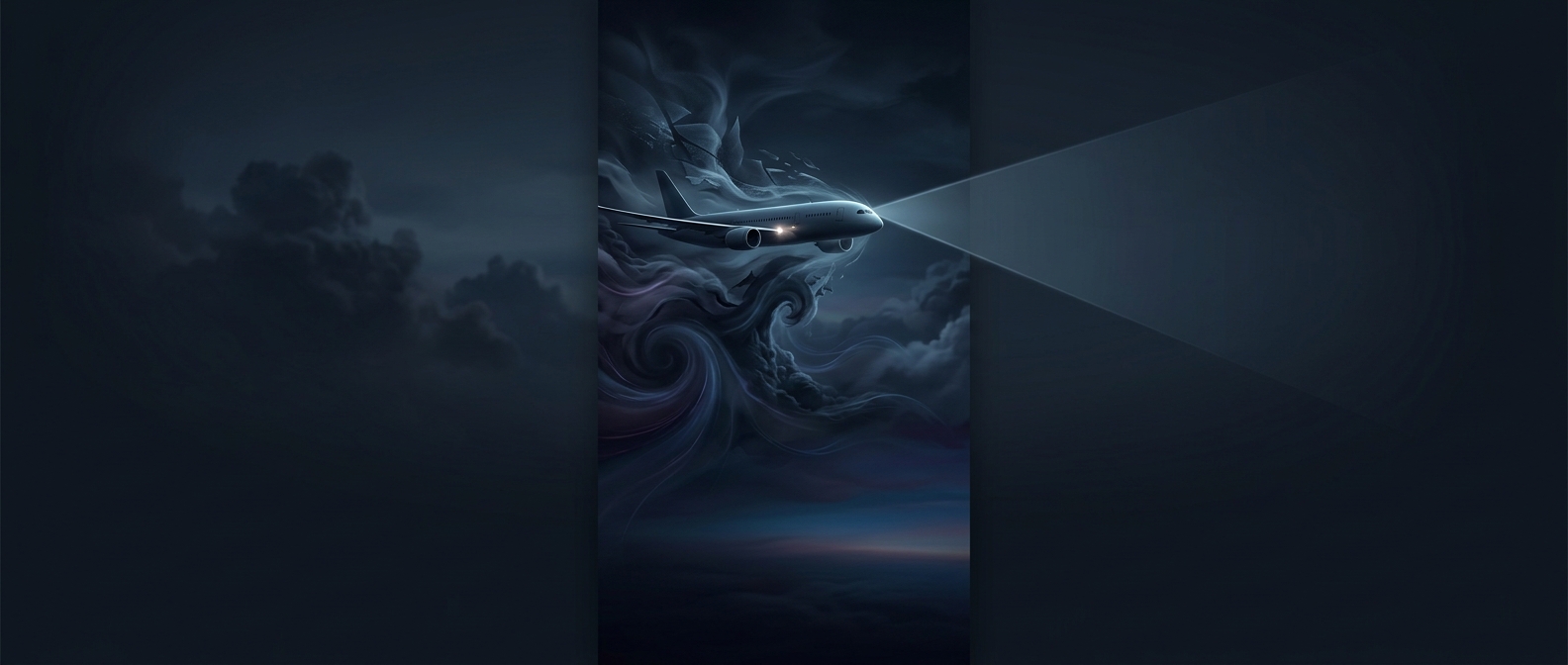
Clear-air turbulence is different: it is a sudden change in airflow, not a cloud of objects for the radar to illuminate. It can occur in apparently clear skies, especially around fast-moving jet streams, where neighboring layers of air travel at different speeds. That difference can make the layers shear past one another and become unstable, producing rough, irregular motion. The radar may show little or nothing because the turbulent air contains too few water droplets to create a useful return.
A forecast, not a radar picture
Because the radar cannot directly reveal every pocket of turbulence, crews also use forecasts and reports from other aircraft. Forecasters look for conditions associated with turbulent airflow, while pilots can pass along reports of rough air encountered along a route. These tools help identify risk, but turbulence can be localized and change with altitude, so its exact location may be hard to predict.
“Clear air” does not mean the air is still, nor does it mean turbulence is impossible to anticipate. It means the disturbance may lack the precipitation that makes it conspicuous on a weather-radar display. Radar remains valuable for avoiding storms, but it is not a universal picture of everything moving in the atmosphere.
Why the seat-belt sign matters
A plane is built to withstand turbulence, but an abrupt jolt can still throw an unrestrained passenger or crew member against the cabin. Since clear-air turbulence may arrive without a visible radar warning, keeping a seat belt fastened while seated is a practical safeguard even when the sky outside looks calm.