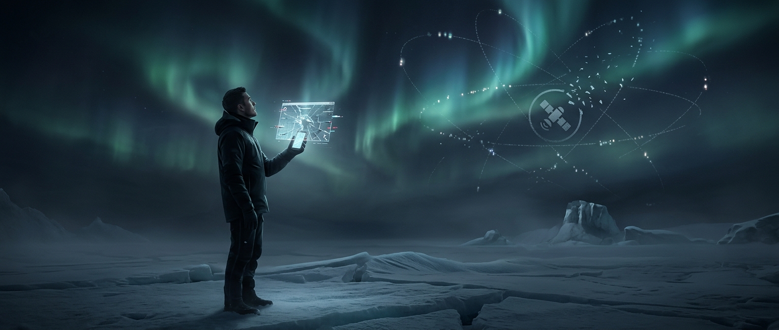
Why GPS satellites bunch toward the horizon near the poles
A GPS receiver finds its position by measuring how long radio signals take to arrive from several satellites. It needs signals from at least four satellites, and their positions in the sky matter: satellites spread in different directions give the receiver a stronger geometric fix than satellites clustered together.
GPS satellites orbit Earth on paths tilted about 55 degrees relative to the equator. That design means they do not travel directly over the Arctic or Antarctic. From very high latitudes, many visible GPS satellites can appear low in the sky and concentrated in a smaller part of the horizon, rather than spread overhead.
A fix can work but be less precise
When the satellites are poorly spread out, small errors in the measured signal travel times can produce a larger error in the calculated position. This is called poor satellite geometry. A receiver may still have enough signals to calculate a location, but the result can be less reliable or take longer to settle. Buildings, terrain, or other obstructions can make matters worse by blocking the already-low signals.
That is why “GPS struggles near the poles” does not mean it switches off there. The limitation is mainly about how well the available satellites surround the receiver. Other navigation satellite systems use different orbital patterns, so a receiver that can use multiple systems may have more satellites to work with. Near the poles, the practical difference can be as simple as a location estimate that wobbles more when the sky is partly blocked.