A Boundary That Could Not Be Found
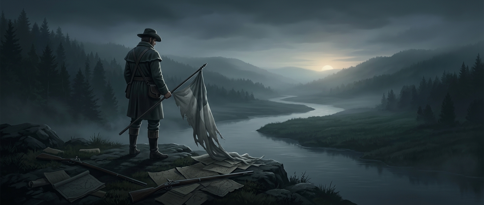
When the United States and Britain set their border in the 1783 Treaty of Paris, they described it partly by geography: the line was to follow the “northwesternmost head” of the Connecticut River and then run along nearby highlands. On paper, that sounded precise. On the ground, the remote waterways and ridges were difficult to identify, and British and American mapmakers did not agree on where the boundary lay.
The resulting uncertainty affected people living in the Indian Stream area, near what is now the New Hampshire–Quebec border. They could not be sure which government had authority over them—or which government’s taxes and laws they were expected to follow.
Residents Try Governing Themselves
In 1832, residents declared the territory independent and organized a government, including a constitution and a militia. Their move turned a cartographic dispute into a practical challenge: if neither neighboring government could establish a clear, accepted claim, the inhabitants would try to manage local affairs themselves.
The new republic was not recognized as a country by the United States or Britain. Its independence was brief, and New Hampshire eventually asserted control over the area. That did not make the underlying boundary question disappear: the two nations formally settled the region’s border only in 1842, through the Webster–Ashburton Treaty.
For a few years, a line described in a treaty but not reliably located on the landscape left residents caught between competing authorities. Their answer was unusually direct: they wrote rules of their own and tried to enforce them with an army.