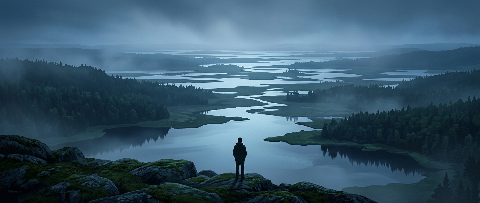
How the Ice Left a Lake-Dotted Landscape
During the last ice age, a massive ice sheet covered much of Sweden. As it moved, the glacier ground against the land, deepening some hollows and leaving piles of rocky debris in others. When the ice melted, water collected in these low spots; in some places, glacial deposits helped hold it there. The result is a patchwork of lakes rather than one continuous lowland basin.
The lakes are not all alike. Some sit among forested hills, while others occupy broad, shallow depressions. Their shorelines can be intricate, with bays and islands that reflect the uneven bedrock and the glacier’s scattered deposits.
Lakes Shape the Journey
On a map, water can look like an obstacle. On the ground, it often determines where roads, towns, and outdoor routes go: a narrow channel or a small number of crossing points can steer travel, while a lake’s long shore creates a natural path for walking or cycling. Ferries and small boats can turn the same water into a shortcut.
For visitors, that means a route through Sweden may repeatedly switch between forest, shore, and open water. The lakes are not merely scenic pauses; they are part of the terrain’s underlying design, set in place as the glaciers retreated.