A point made by survey lines
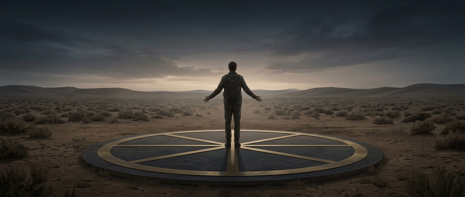
Four Corners is where the straight boundary lines separating Utah, Colorado, New Mexico and Arizona converge. Those lines were laid out by surveyors to define territorial borders; they are not visible on the surrounding landscape. The brass marker gives visitors a physical place to see—and pose at—their intersection.
One marker, four state lines
The monument sits on Navajo Nation land and is managed as a Navajo tribal park. That matters: although four states meet at the marker, the site itself is not a jointly run state park. Its setting also reflects a larger reality of the region: the Navajo Nation extends across all four states, while the monument marks the point where their state boundaries meet.
The appeal is wonderfully concrete. A visitor can place hands or feet on opposite sides of the marker and be in four states at once. The surrounding high-desert landscape makes the lines that organize a map feel surprisingly tangible: stand at this one spot, and a step in any direction can cross a state boundary.