A grid made places comparable
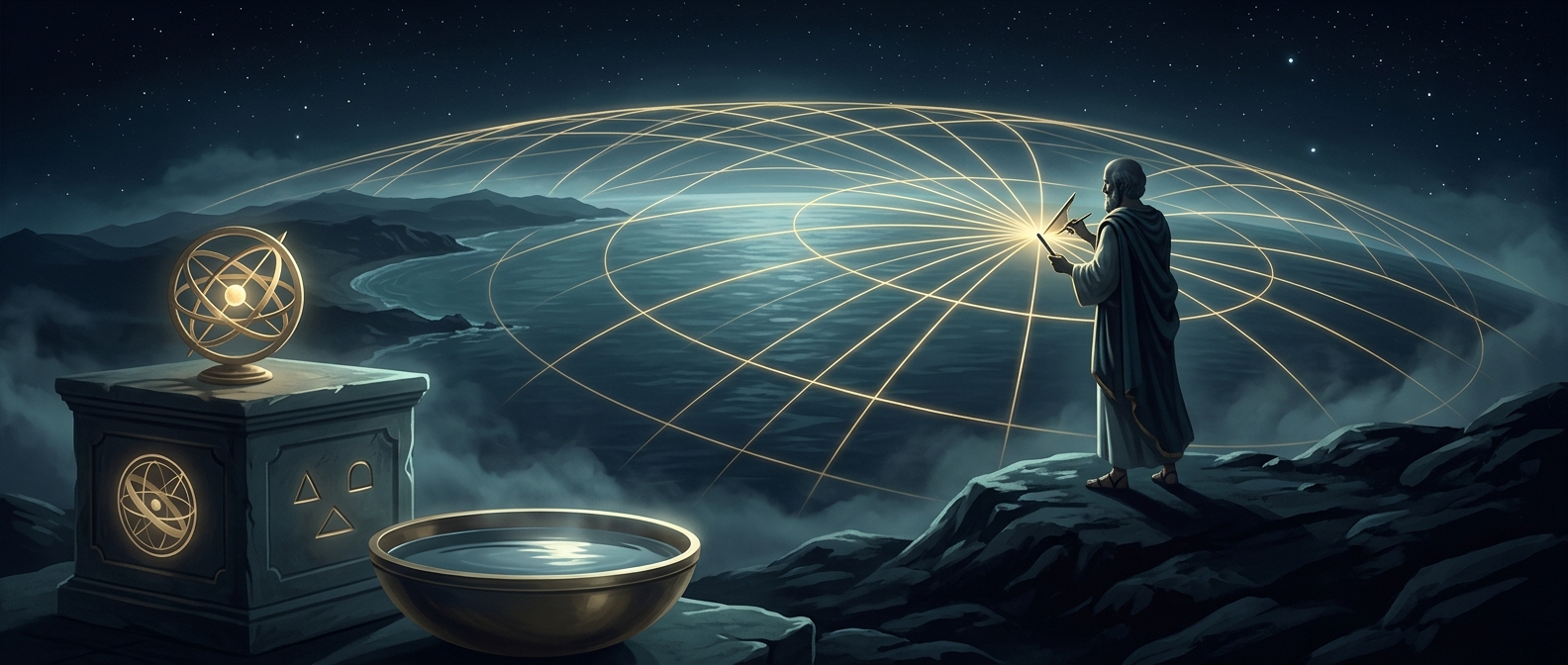
Before a map could locate a city by coordinates, it often identified places through names, landmarks, or their relation to other places. Eratosthenes, a Greek scholar working in the third century BCE, helped change that by organizing the known world with intersecting north–south and east–west lines. A location could now be described by where it fell on the grid, rather than treated as an isolated label.
The lines were a way to impose order on a curved Earth, not a modern system of precisely surveyed streets. East–west lines corresponded roughly to latitude; north–south lines to longitude. The key change was that places could be compared within one shared framework.
From reports to a usable picture
A grid did not make every location accurate by itself. Geographers still had to place cities using the evidence available to them: travel accounts, estimates of distances along routes, and observations of the sky. Those reports could be incomplete or inconsistent, but the grid gave scholars a common structure in which to record and assess them.
That mattered for travel as well as scholarship. A merchant or traveler could think about a destination in relation to other known places and the direction of a journey, rather than relying only on a list of names. It also made gaps and disagreements easier to see: if two accounts implied incompatible positions, the conflict stood out on the same map.
A map becomes a system
Eratosthenes’s achievement was not the invention of modern GPS-style coordinates. It was the idea that geography could be organized systematically, with position expressed through intersecting lines. Once places could be filed in that way, a map became more than a picture of the known world: it became a tool for comparing locations and reasoning about how they related.