A World Built from the Geography Europeans Knew
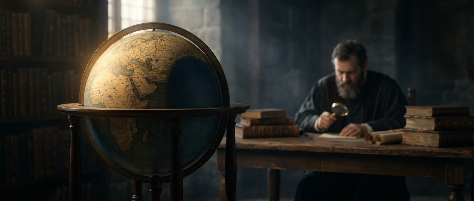
Martin Behaim’s globe, completed in Nuremberg in 1492, shows a world organized around Europe, Africa, and Asia. Its image of the planet drew on inherited maps and reports from travelers and sailors. Those sources placed Asia far to the east and left a broad ocean between Europe and Asia—but no separate American continents in between.
That arrangement reflects more than a missing landmass. Without reliable reports of the Americas, mapmakers had to fit new observations into an older framework. Some European navigators believed they could reach Asia by sailing west; the globe’s geography makes that journey look far more plausible than it would on a modern map, because it compresses the distance across the ocean.
A Snapshot at the Edge of a Change
The globe was completed in the same year Columbus sailed west across the Atlantic. It was not a record of everything happening in the world: Indigenous peoples had long lived throughout the Americas, and their geographic knowledge did not appear in Behaim’s European map. Rather, the globe captures the limits of one particular knowledge system just before European voyages began changing it.
Its blank western ocean is therefore useful evidence—not of an empty hemisphere, but of how dramatically a map can change when reports from a voyage force its makers to redraw the world.