How two tunnel bores stayed on course
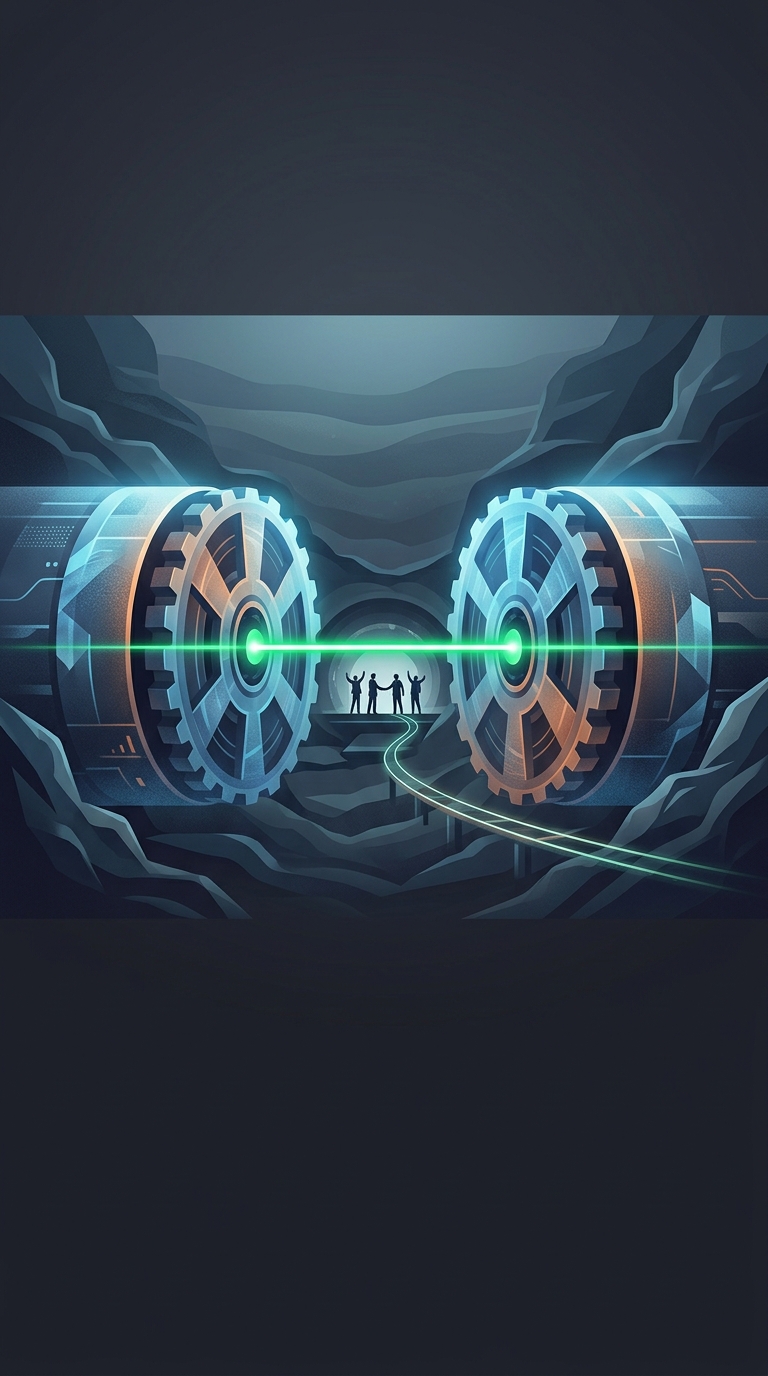
The Channel Tunnel was not dug by one machine advancing from a single starting point. British and French teams excavated toward one another from opposite sides of the English Channel. Their machines could not see each other, and even a tiny directional error, repeated over many miles, could leave the bores missing by a substantial distance.
Surveyors solved this by building a shared map of the route and repeatedly transferring it underground. Precise measurements from the surface established the tunnel’s position; instruments in the access shafts carried those reference points down to the working tunnels. Underground, surveyors used optical instruments—including lasers where a clear line of sight allowed—to check direction and position as excavation continued.
Small corrections prevented a large miss
A laser could not simply be aimed through the seabed from one country to the other. Instead, each team followed its own carefully measured alignment, checking the tunnel’s course in stages. Surveyors compared those measurements with the planned route and guided corrections before small deviations accumulated. The process combined surface surveying, underground observations, and repeated checks rather than relying on a single measurement or a machine’s built-in guidance.
When the two headings finally met beneath the seabed, their alignment was close enough for the passage to be connected and finished. That breakthrough turned an invisible surveying problem into a practical railway link: passengers could travel between the two sides without making the sea crossing by ferry. The striking part is that the machines did not need to meet with perfect mathematical precision; they needed to arrive close enough that engineers could safely join and complete the tunnel.