Why the Pan-American Highway stops short
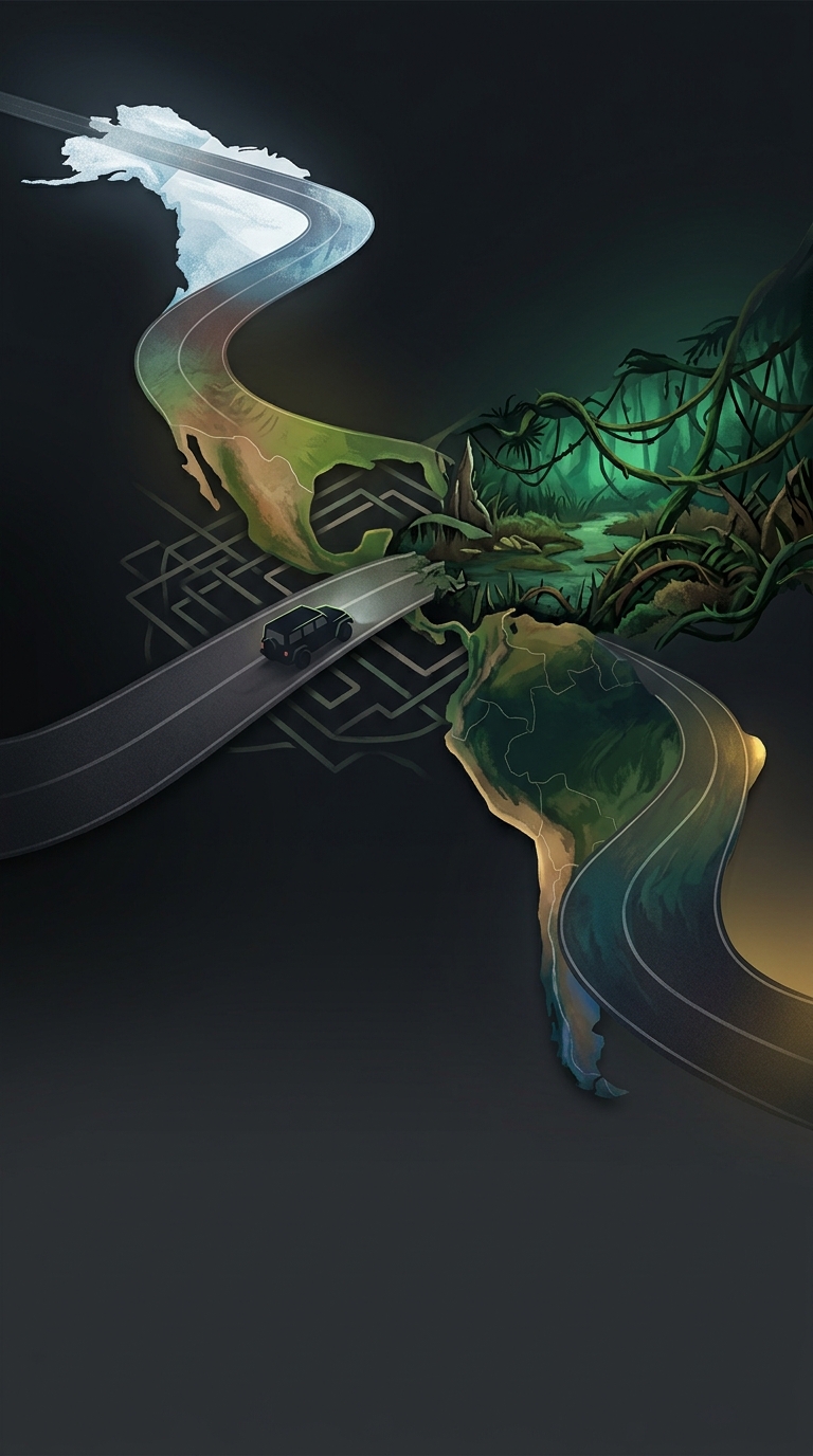
The Darién Gap is not a missing bridge or a short stretch of unfinished pavement. It is a broad region of dense tropical forest, wetlands, and rugged terrain between Panama and Colombia. The highway’s route runs through landscapes that are difficult to survey and build across, and a road would have to contend with flooding, unstable ground, and rivers without easy crossing points.
That makes the gap an engineering and environmental challenge at a continental scale. Building a road would mean more than laying pavement: crews would need to cut access through remote terrain, construct drainage and bridges, and keep the route passable in a wet climate. The road could also open previously difficult-to-reach areas to settlement, logging, and other development, making the consequences extend well beyond the construction site.
A break with practical consequences
The gap separates two connected highway networks, so travelers cannot simply drive the full route from North America into South America. Vehicles making the journey must be transported by ship between the road ends, while people and cargo use other ways to cross the region. The highway is therefore continuous in concept, but not as a drivable road.
That interruption has shaped how the route is used and imagined. It preserves a difficult-to-cross stretch of wilderness, while leaving a costly logistical break in what would otherwise be an extraordinary overland journey. The world’s longest motorable road is a connected system with one place where the road itself gives way to a ship.