A river used long before it reaches the sea
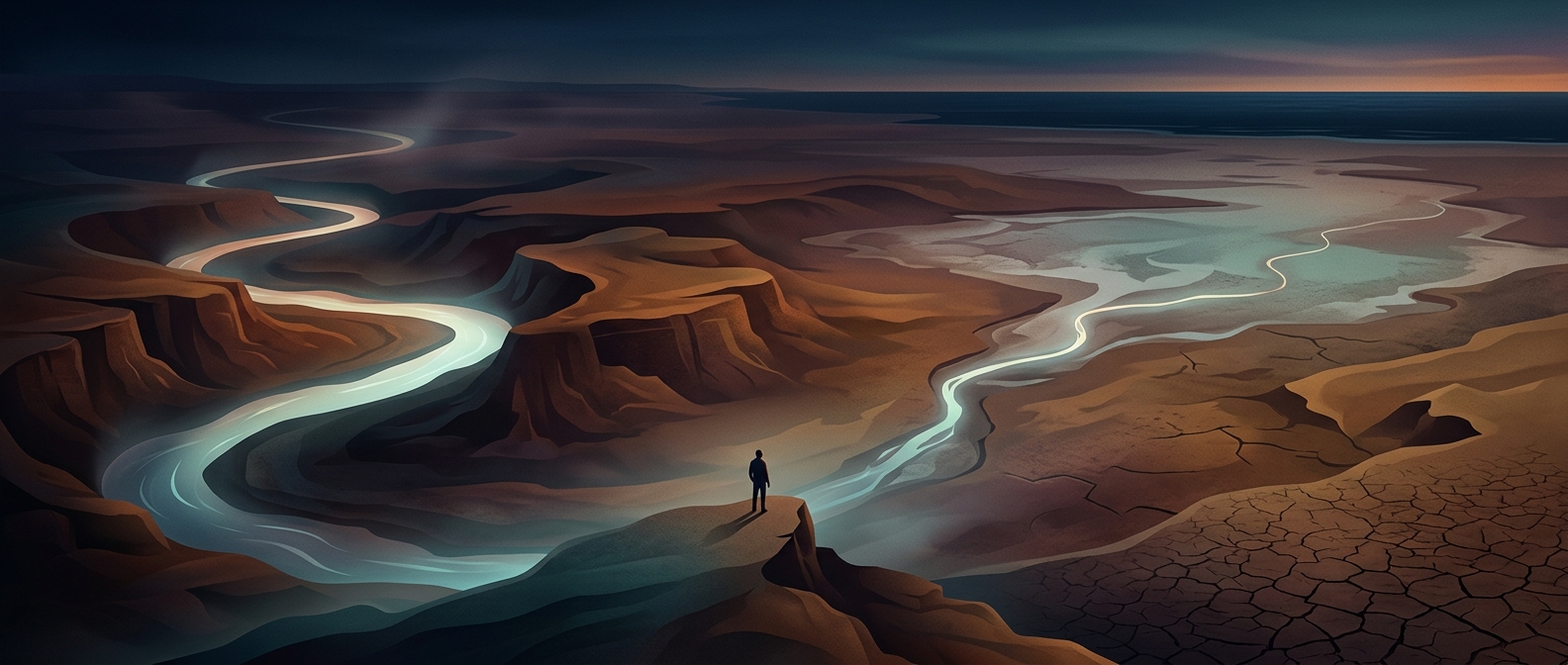
The Colorado River begins in the Rocky Mountains and crosses a dry region where water is needed for farms and cities. Along the way, dams store its flow in reservoirs, while canals carry water to fields and communities across several states and into Mexico. By the time the remaining river travels toward the Gulf of California, its flow can be greatly reduced—and in some stretches, the channel may be dry.
This is not simply a matter of water disappearing at the shoreline. The river’s supply is divided among many users, and the Southwest’s arid climate means little rain returns to the channel along much of its route. Water can also evaporate from reservoirs and canals or soak into the ground. In dry years, the amount entering the system may fall short of demand, making the downstream flow especially vulnerable.
What the missing flow once sustained
Before extensive dams and diversions, the Colorado carried sediment and seasonal floods into a broad delta in northwestern Mexico. Those floods spread water across wetlands and helped sustain habitats in an otherwise dry landscape. With less river water reaching the delta, much of that ecosystem has shrunk, though remnant wetlands persist and occasional releases can send water downstream.
The river’s journey is a visible consequence of treating a limited water supply as something to be shared across a vast basin. A drop that reaches a distant city or irrigated field may be one that no longer feeds the delta—where the Colorado once met the sea.