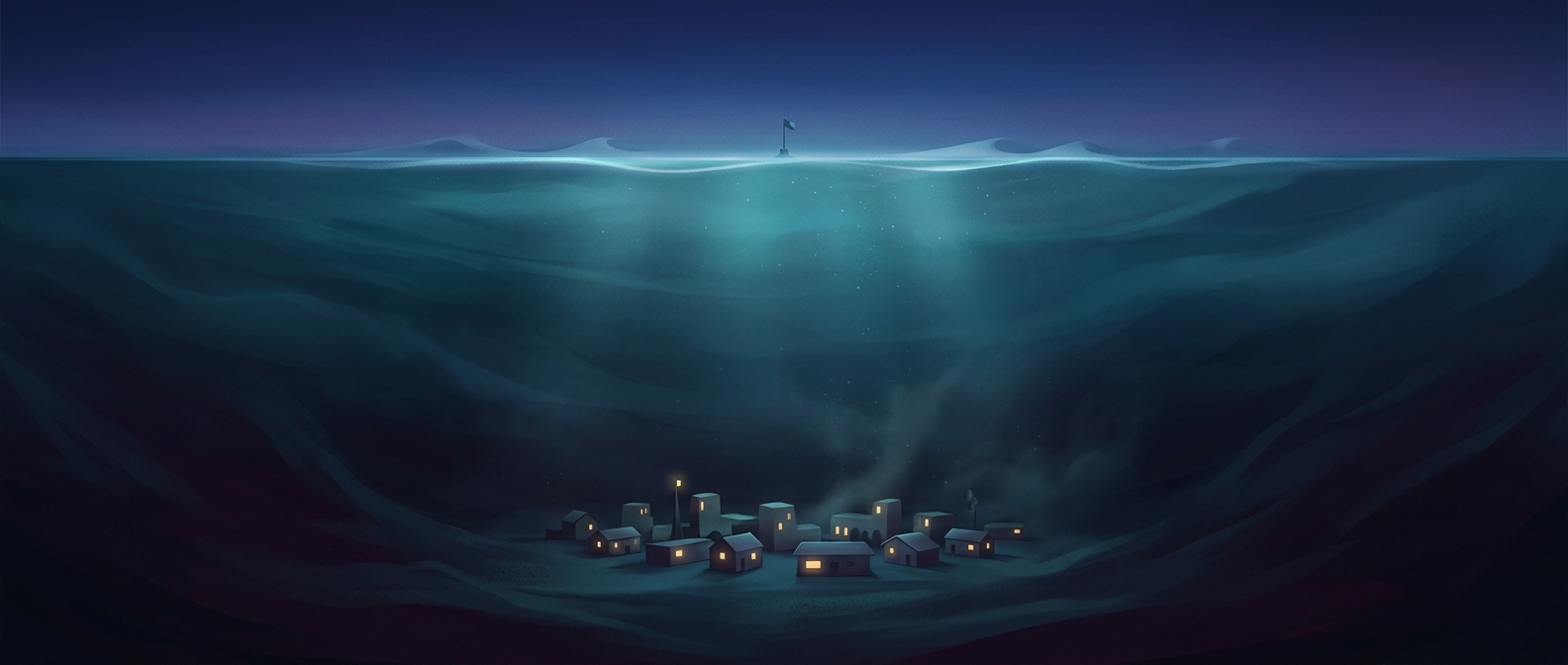
How a farming town came to lie below the ocean
Calipatria sits in California’s Imperial Valley, a low basin whose floor dips below present-day sea level. The basin is part of the Salton Trough, a broad geological depression shaped by movement in Earth’s crust. It has no open connection to the ocean, so being below sea level does not mean seawater can simply flow into town.
The basin’s low point holds the Salton Sea, while towns and farms occupy nearby ground. Irrigation water reaches the valley through canals carrying water from the Colorado River. That water makes large-scale farming possible, but it also means that managing water is essential in a landscape with little natural drainage.
Why levees matter here
Levees are raised barriers built to keep water within a river channel or away from land that could flood. In the Imperial Valley, they help guard against flooding from waterways that carry irrigation runoff toward the Salton Sea, as well as from unusually high flows. They do not lift the town above sea level; they help control where water goes across the low-lying basin.
That distinction is what makes the setting striking: Calipatria’s elevation is a fact about the shape of the land, while its safety depends on a system of canals, channels, and barriers that directs water through it. A town can sit below sea level without being underwater—but only because the surrounding basin is managed, not because the risk of flooding disappears.