A shared line for a world of routes
Longitude tells how far east or west a place lies around Earth. Unlike the equator, which follows the planet’s widest circle, no natural feature singles out one longitude as the starting point. Navigators and mapmakers therefore needed a convention: choose a zero line, then measure every other position from it.
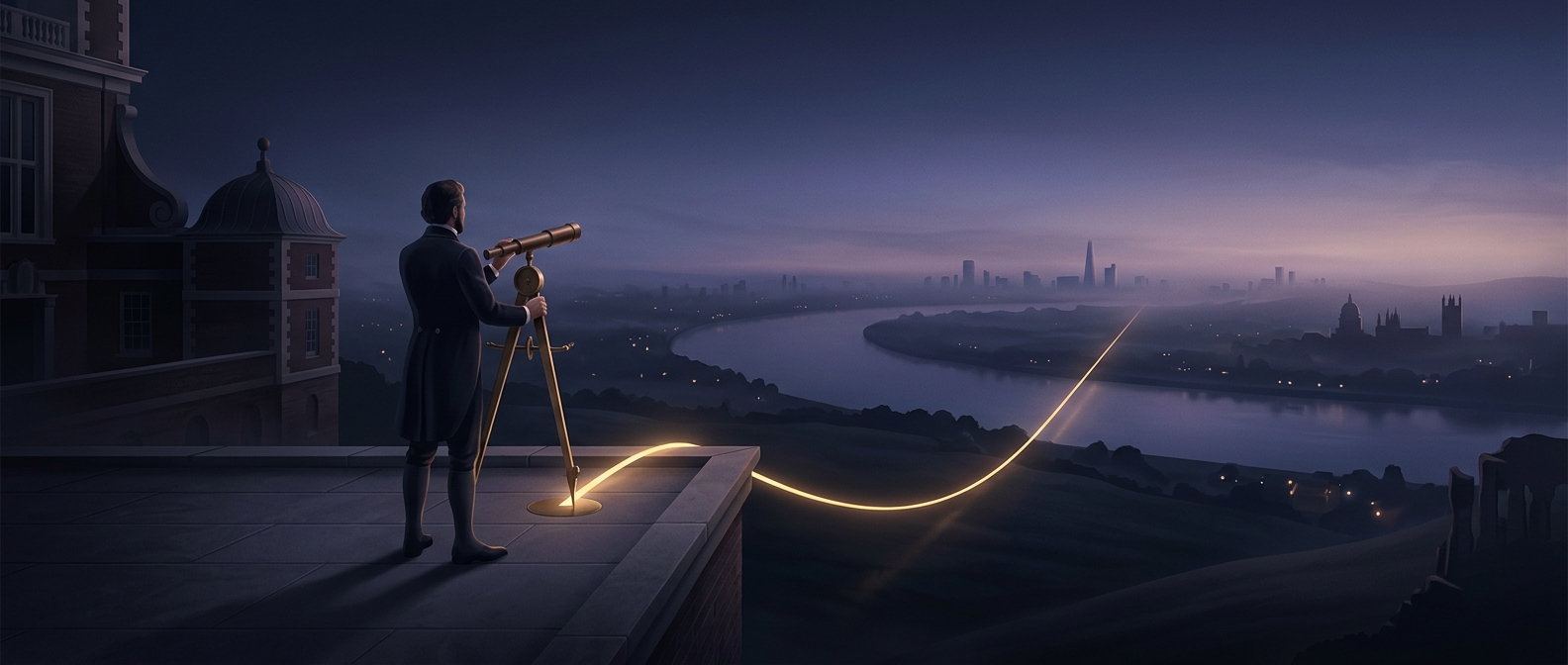
By the late 19th century, ships and maps already relied heavily on Greenwich-based charts. Choosing a different starting line would have meant converting many existing positions and coordinating across competing national systems. Greenwich offered delegates a widely used reference rather than a new one that everyone would have to adopt from scratch.
From map convention to clock time
The choice mattered beyond maps. Earth turns 360 degrees in about 24 hours, so a location’s longitude corresponds to its local solar time: places farther east experience noon earlier than places farther west. Once countries shared a zero line, longitude could also help organize timekeeping across long distances.
That connection is the basis of the familiar rule of thumb that 15 degrees of longitude equals about one hour of time difference. Real time zones do not follow perfect north–south bands, but a common meridian gave railways, ships, and distant cities a consistent starting point for coordinating schedules.
A practical agreement, not a planetary feature
The Greenwich meridian became useful because people agreed to treat it as the reference. The line did not acquire a special physical status in the Earth; its importance came from the charts, instruments, and shared calculations built around it. A conventional line can still have real consequences once navigation and timekeeping depend on everyone using the same one.