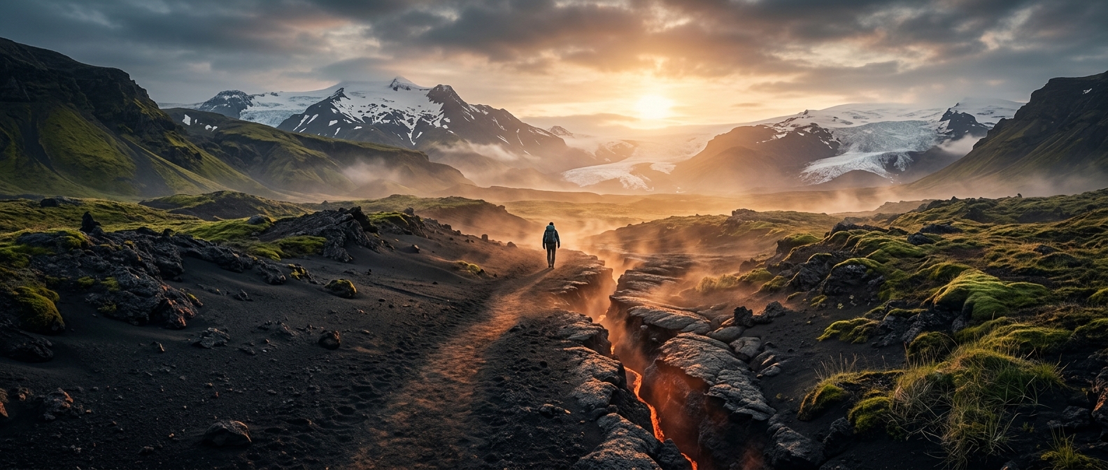
How an eruption reshaped the Fimmvörðuháls trail
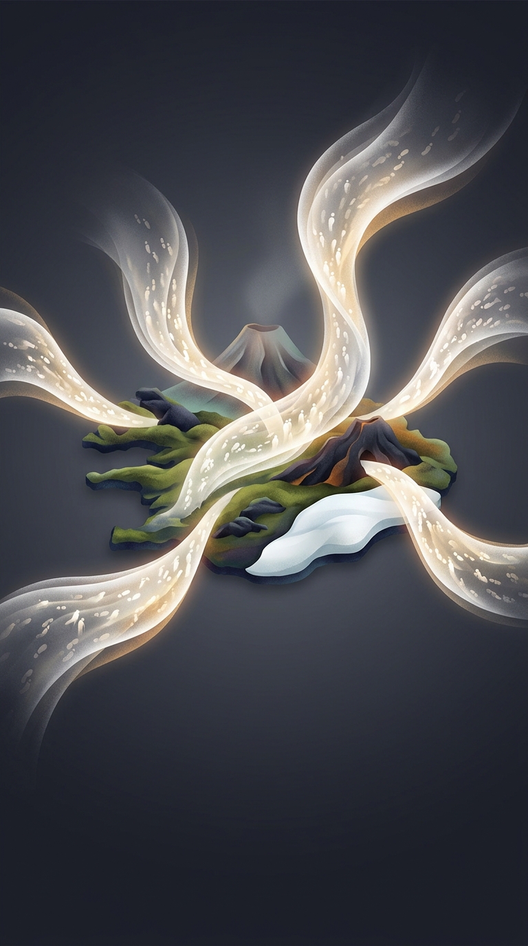
The Fimmvörðuháls pass runs between Iceland’s Eyjafjallajökull and Mýrdalsjökull glaciers, across high, exposed ground. In 2010, a fissure eruption on the pass sent lava across the landscape and scattered volcanic ash and other fragments. The route now crosses terrain that was newly made—or dramatically altered—by that eruption, including dark deposits and sharp-edged basalt.
Ash is the fine material produced when erupting magma breaks apart; larger fragments settle alongside it. These loose deposits can form shifting, dune-like slopes, while cooling lava hardens into rough rock. The contrast matters underfoot: ash can give way or drift, whereas jagged basalt makes for uneven footing.
Why the ground can feel warm
A volcanic landscape does not lose all its heat the moment an eruption ends. Heat can linger underground, and geothermal warmth—heat from within Earth—can reach the surface in places. Dark ash and rock also absorb sunlight, so a warm patch is not by itself proof of active volcanic heat. Conditions vary across the pass; hikers should not assume every dark deposit is hot.
That mix of loose ash, fractured lava, and residual warmth makes the trail more than a route through dramatic scenery. It is a walk across a landscape whose surface records how an eruption changed the ground—and whose volcanic heat can still be felt in some places.