How Los Angeles traded rail access for road capacity
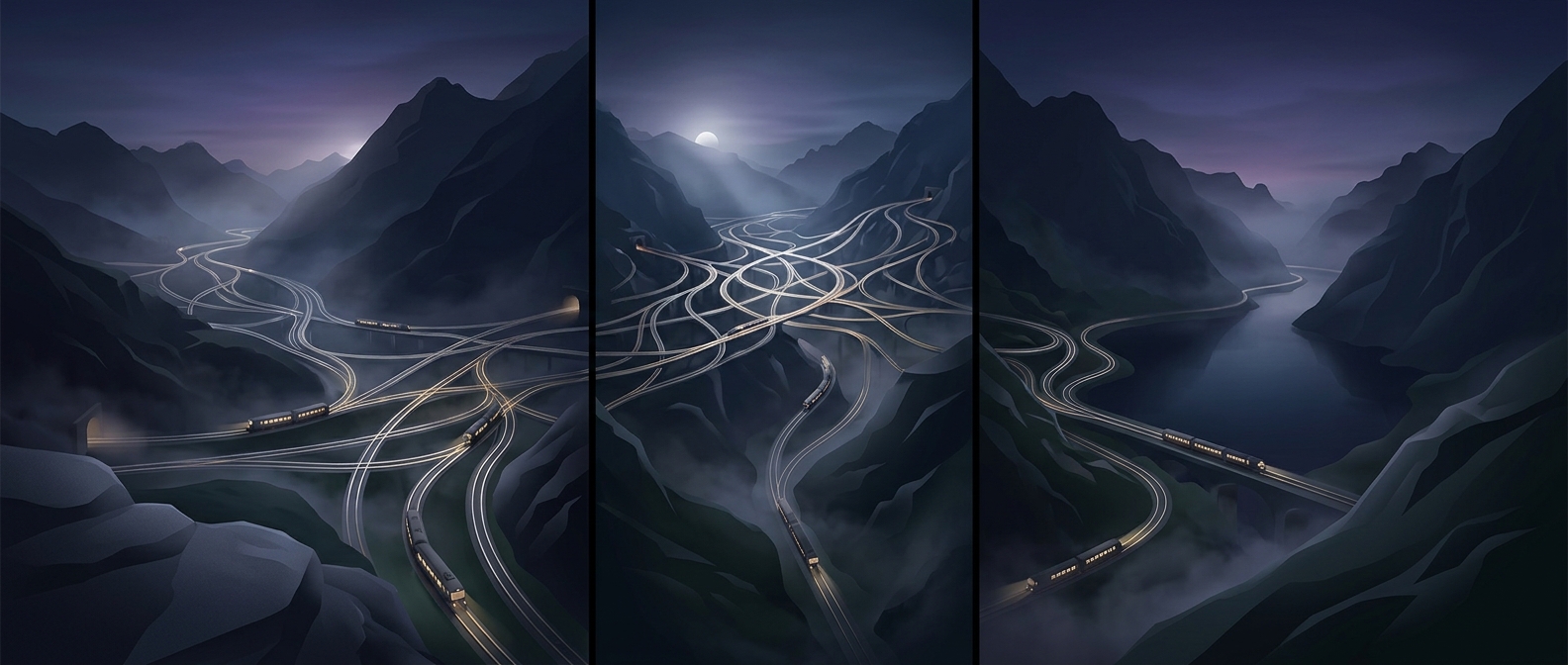
In the 1920s, Los Angeles’s electric railways linked downtown with a far-flung region of towns and suburbs. The network included both streetcars, which shared city streets, and faster interurban trains that ran longer distances. Its reach made it possible to travel across much of the growing region without driving—but only where a line went, and on a schedule set by the railway.
That fixed geography became a disadvantage as homes and jobs spread outward. A rail extension required tracks, stations, and enough riders along a corridor to justify the cost. Cars and buses could serve new neighborhoods without waiting for a rail line to be built, while wider roads made driving more practical. As riders and investment shifted toward road travel, rail service became harder to sustain.
Freeways changed what counted as convenient
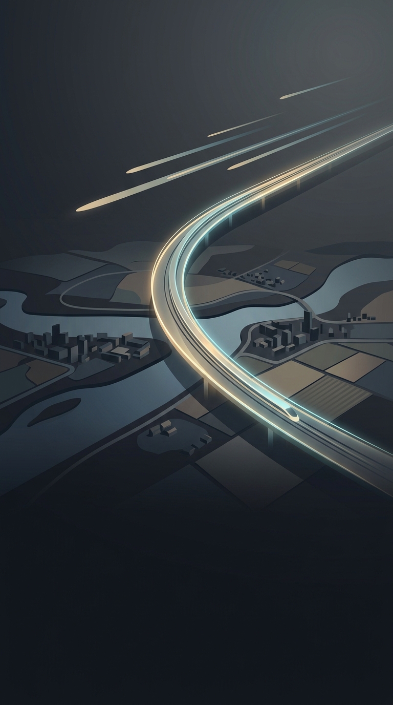
A freeway could move many cars quickly along a limited-access route, but it did not deliver travelers to their doors. People still needed local streets, parking, and a car for the beginning and end of most trips. Building the high-speed links encouraged development farther from the center, where land was easier to reach by car than by rail. That growth, in turn, created more trips and more pressure to widen roads.
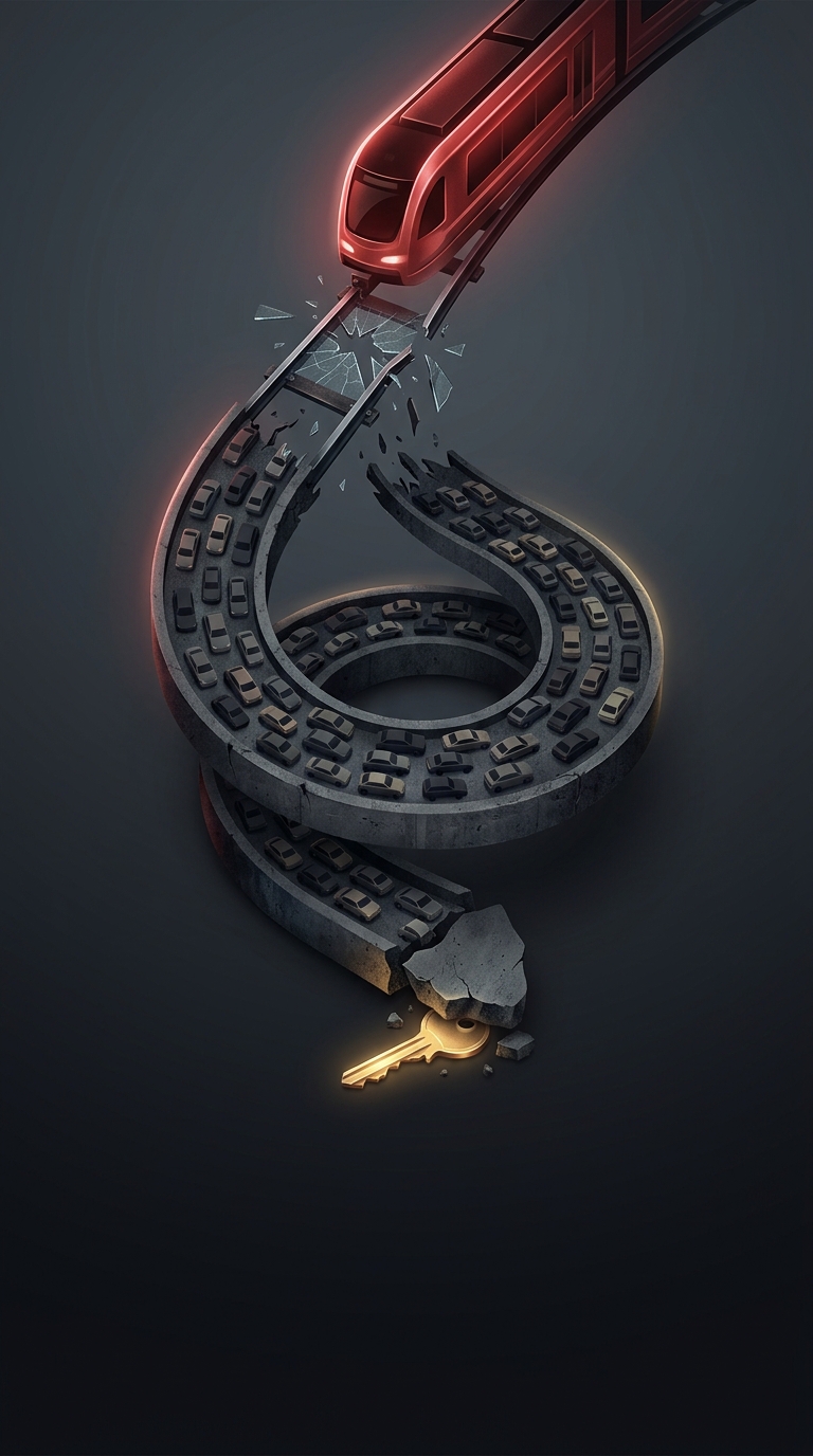
This is induced demand: when a road becomes faster or gains capacity, some people change when, where, or how often they travel, and others choose to drive rather than use another option. The initial improvement can therefore fill up over time. It is not that every new lane instantly creates an equal number of new cars; rather, a road network can help shape a city around driving.
A lasting tradeoff
Los Angeles did not switch from trains to freeways in one simple decision. Changing travel habits, suburban growth, competition from buses and cars, and public investment all helped move the balance. But once freeways and car-oriented development reinforced each other, restoring frequent rail service became a much larger task than keeping an existing line running.
The consequence is still visible in the region’s geography: a trip that looks short on a map can depend on a long drive because destinations—and the routes connecting them—were built around the car.