How a continent can hide beneath the sea
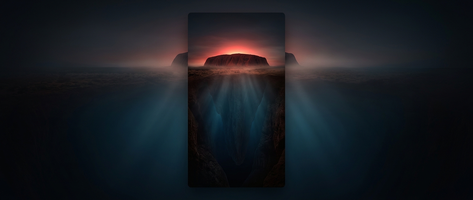
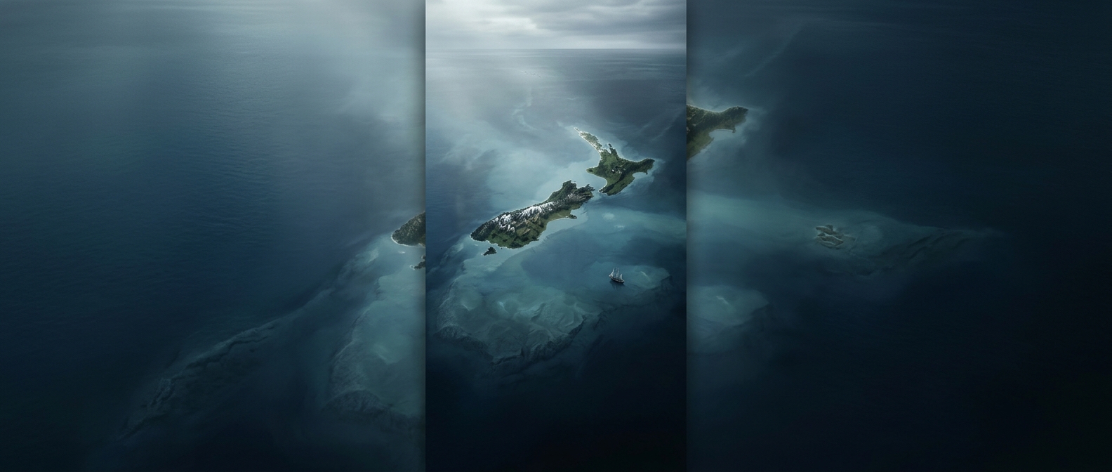
The land around New Zealand is part of Zealandia, a broad region of continental crust—the relatively thick, buoyant rock that forms continents. It is not simply a chain of volcanic islands rising from ordinary ocean floor. New Zealand’s mountains and plains are the parts of this continental terrain that stand above sea level; much of the surrounding region is submerged.
A continent stretched thin
Zealandia was once connected to the ancient southern supercontinent Gondwana. As the crust pulled apart during the breakup of Gondwana, it stretched and thinned. Thinner continental crust sits lower than thicker crust, so much of Zealandia settled beneath the ocean. Seawater then covered the low-lying areas, leaving elevated sections—including New Zealand’s main islands—exposed.
This is why a map can make New Zealand look like an isolated island country while a map of the seafloor tells a different story: its islands are connected by a much larger underwater expanse of continental rock. For travelers, the practical consequence is striking: the ocean around New Zealand is not merely empty space between islands, but the visible surface of a mostly hidden continent.**