A lake governed by hidden thresholds
Lake Cerknica lies in a broad, flat basin in Slovenia’s limestone karst—a landscape where slightly acidic water slowly dissolves rock and opens cracks, shafts, and underground channels. The basin can hold water, but it is not sealed like a bowl. Its level depends on a changing balance between water flowing in and the capacity of routes leading underground.
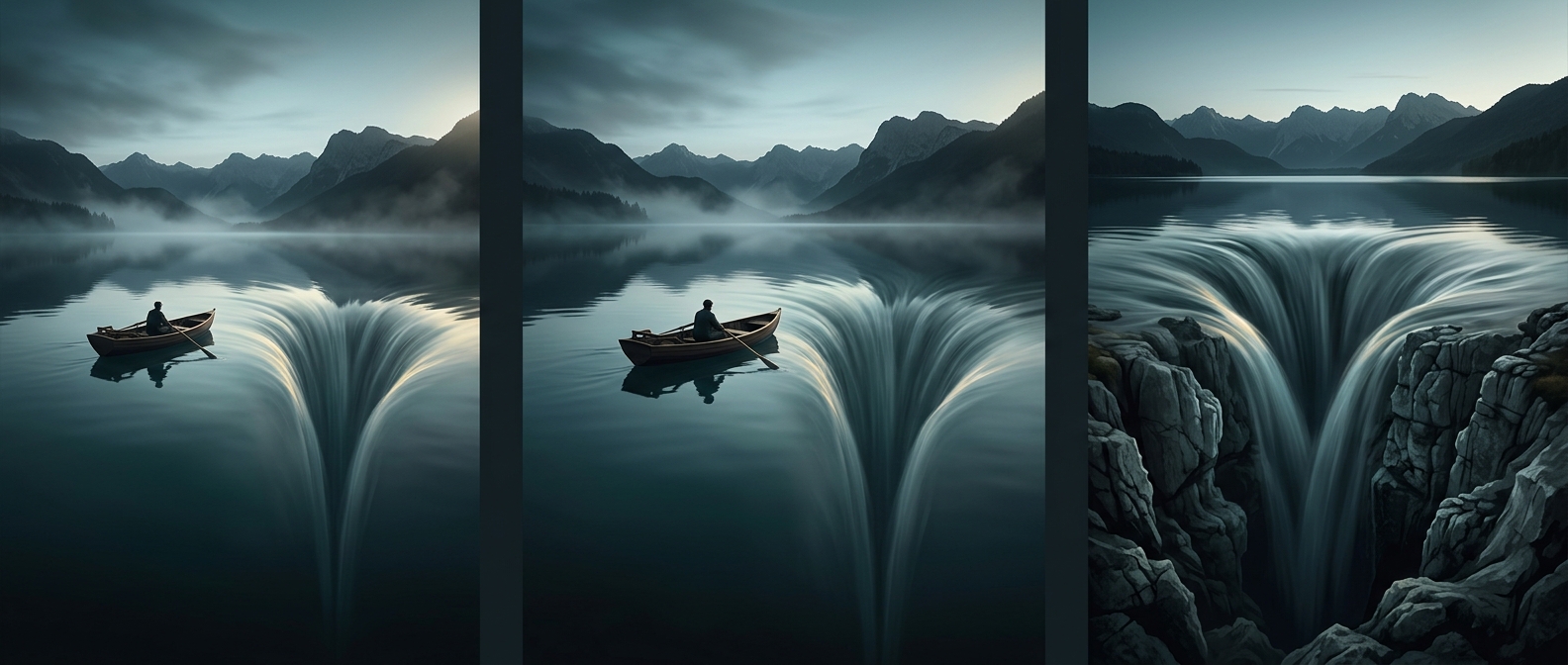
When rain and other inflows arrive faster than the passages can carry them away, water spreads across the low basin. As the supply eases, drainage catches up. The lake then contracts, sometimes leaving wet meadows and fields where open water had been. Its disappearance is not a single trapdoor opening; it is the visible result of water moving through a connected, uneven network beneath the surface.
A landscape with two faces
That shifting waterline makes the basin useful in different ways at different times. Flooded, it becomes a large body of water; when it recedes, land emerges again. Plants and animals must contend with those changing conditions, and people living around the basin have had to adapt their use of the land to a lake whose boundaries do not stay put.
The striking part is that the lake’s apparent edge is only half the story. What looks like a shoreline is also the surface expression of an underground drainage system—one that can turn an expanse of water back into land as its flow balance changes.