Why the Triangle Became a Story
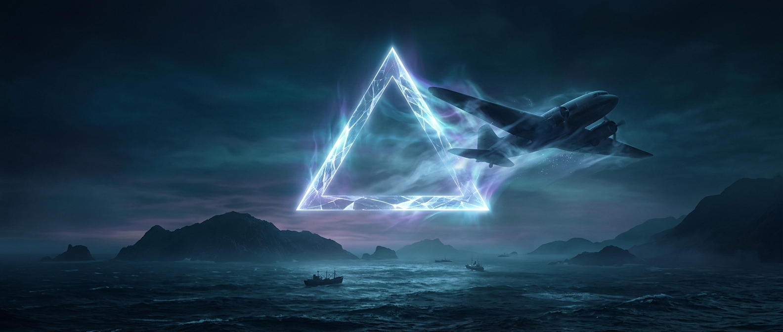
The Bermuda Triangle is usually drawn between Florida, Bermuda, and Puerto Rico, but its edges have never been fixed. That matters: there is no boundary at sea where conditions suddenly change. The outline groups incidents into a memorable shape, while the actual hazards arise from weather, currents, and the difficulty of knowing exactly where a vessel is.
How Small Errors Become Dangerous
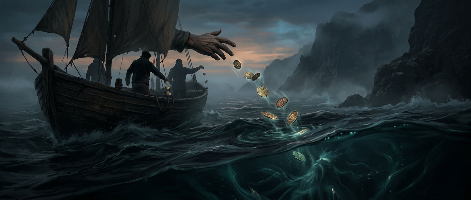
The region lies along heavily traveled routes and includes waters influenced by the Gulf Stream, a powerful current that can carry floating objects away from where a vessel was last seen. A storm can make visibility collapse, raise steep seas, or force a ship off course. If a crew then misjudges its position, the current and wind may widen the gap between where it thinks it is and where it actually is.
Before satellite positioning, sailors often estimated location from speed, direction, and elapsed time—a method called dead reckoning. Each estimate could be slightly wrong; over hours or days, those errors accumulated. At sea, a modest position error can mean missing land, entering hazardous water, or searching the wrong area after an emergency.
Why the Shape Persists
A disappearance is dramatic, but a safe passage attracts little notice. When an incident is assigned to a loosely defined region, the triangle offers a simple explanation that ordinary maritime risks do not: a place itself seems to be responsible. In practice, the same storm, current, or navigation mistake can cause trouble elsewhere, too. The lasting lesson is less about a mysterious patch of ocean than about how quickly uncertainty compounds when a vessel loses reliable weather information or its position.