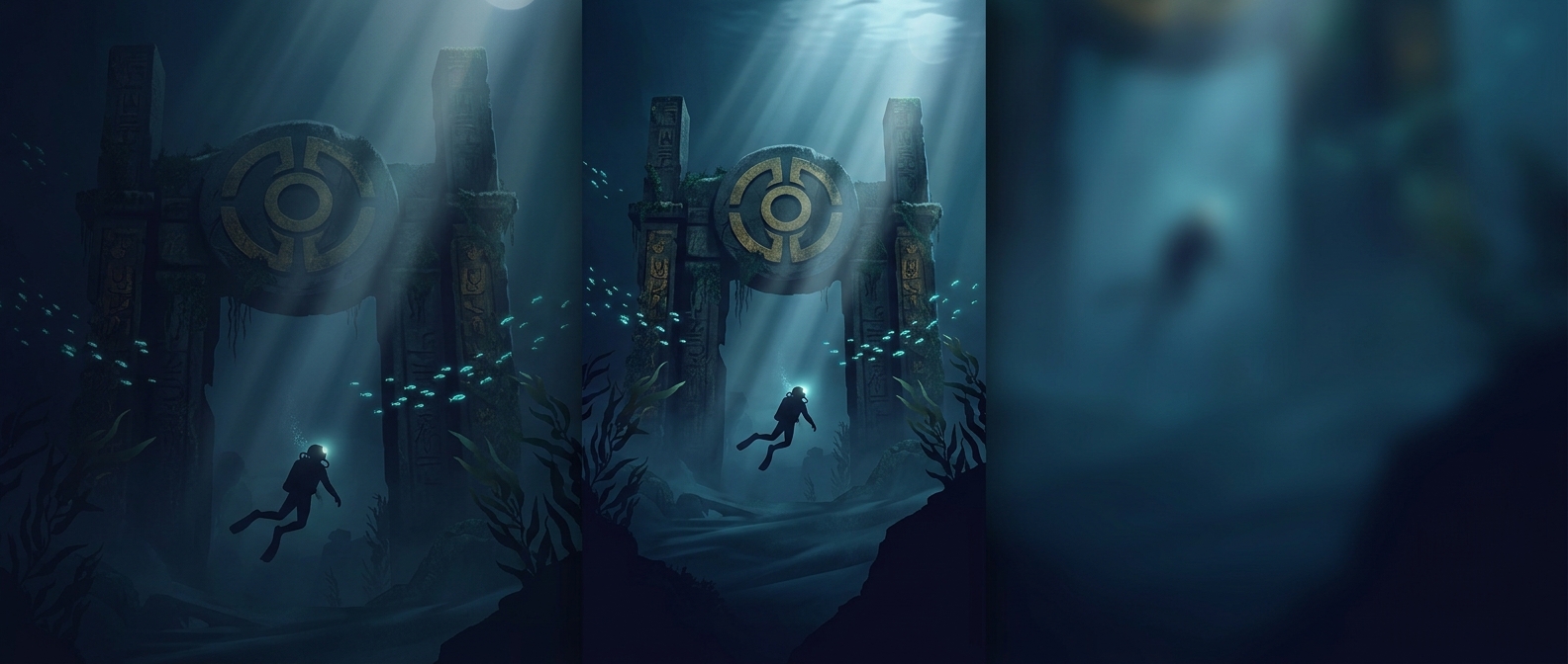
How “Mu” entered the map
Mu was not a continent discovered beneath the Pacific. It was an imagined lost land, popularized in 19th-century writing when authors tried to explain how ancient cultures might share striking similarities. Some accounts placed a flourishing civilization on a vast Pacific continent that later sank beneath the waves.
The idea drew on a real scientific debate of the era: how plants, animals, and people had spread across oceans and between distant regions. Before plate tectonics offered a clearer account of how continents move, a vanished land bridge could seem like an appealing explanation. Mu turned that kind of speculation into a grand story of an ancient Pacific homeland.
A compelling story, not a geological finding
The proposed continent’s scale and architecture belonged to the narrative, not to evidence of a sunken civilization. Modern geology explains the Pacific basin through moving tectonic plates and oceanic crust; it does not support the existence of a recently submerged continent large enough to host Mu’s imagined society. Islands can sink or disappear as volcanic structures erode and the seafloor changes, but that does not add up to a lost continental world.
Mu’s lasting appeal lies in how it made scattered ruins, cultural resemblance, and an unmapped ocean seem like parts of one mystery. Its story also reveals a shift in how such mysteries are investigated: a dramatic map can suggest a possibility, but geology must account for the rocks beneath it.