Why Alaska’s outline can be misleading
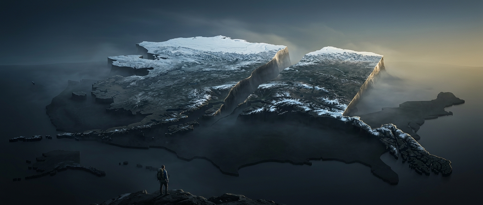
On many familiar maps, Alaska appears detached from the rest of the United States and sometimes is drawn at a different scale. That makes it hard to judge its size by eye. The state covers roughly Alaska's huge area—about 665,000 square miles—while Texas covers about 268,000. The comparison is about area, not how far one could travel along a road.
A vast state, not one continuous road trip
Alaska’s area includes a long mainland, peninsulas, and thousands of islands. Its communities are spread across this enormous landscape, and many are not connected to one another by roads. Travel can mean flying or taking a boat, rather than simply driving from one end of the state to the other.
That is why the size comparison matters beyond a map: distances shape everyday logistics, from reaching a neighboring community to moving supplies. Alaska’s scale is not just a striking outline—it helps explain why travel there often depends on air and water routes.