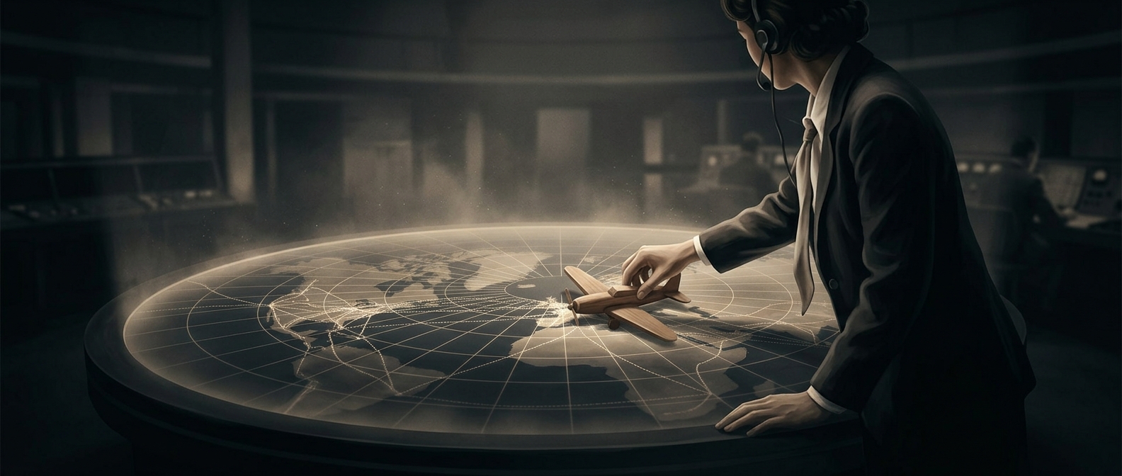
A map turned radio calls into a traffic picture
Without radar, controllers could not watch aircraft move across a screen. They built their picture from reports: a pilot radioed a position, and a controller placed or moved a marker on a large map. Each marker stood for an aircraft whose location was known only from its latest report—not its exact position at that instant.
That made the map a working record, not a live view. Controllers had to connect reports over time, keeping track of where each flight was going and when it might reach the same stretch of air as another. The job depended on disciplined updates: an old marker could misrepresent where an aircraft had gone, while a missed report left the picture less certain.
Separation depended on planning ahead
Radar can show aircraft positions repeatedly; radio-and-map control could not. Instead, controllers relied on pilots’ reports and clearances that organized traffic by route, altitude, or timing. The aim was to keep aircraft apart before they converged, rather than wait to see a developing conflict on a screen.
Phone calls helped controllers coordinate with other control positions, passing along information as flights crossed from one area to another. So the map was only one part of the system: radio reports supplied the updates, procedures structured the traffic, and people maintained the links between areas.
The human work behind the markers
A tabletop map made invisible movement legible, but it did not automate the reasoning. Controllers had to remember which reports were current, anticipate what would happen next, and revise the picture as new information arrived. The striking constraint was not that the map lacked power; it was that every mark represented a moving aircraft whose position had to be reconstructed through communication and careful bookkeeping.