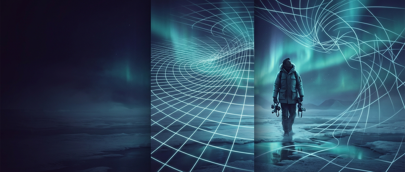
Why East–West Degrees Shrink
Longitude lines run from pole to pole. At the equator, they are farthest apart; as they head north or south, they draw together until they meet. So a one-degree change in longitude represents a wide stretch of ground near the equator but a much narrower one at high latitudes. In geometric terms, that distance decreases in proportion to the cosine of latitude.
Latitude works differently: its lines remain parallel, so a degree of latitude covers roughly the same north–south distance almost everywhere. The two coordinate directions therefore do not form equal-sized squares on the ground, even if a printed grid makes them look that way.
What This Means for Maps and Routes
A map projection—the method used to flatten Earth onto a page or screen—must alter some distances, shapes, or areas. The familiar rectangular grid of many world maps keeps longitude and latitude lines straight, but it stretches places toward the poles. That visual spacing is a property of the map, not a sign that longitude degrees become larger there.
For navigation, coordinates need to be interpreted with their location in mind. A one-degree eastward change near the Arctic does not move a vehicle or aircraft as far as the same change near the equator. Route-planning systems account for Earth’s curvature and the chosen map projection rather than treating every coordinate step as an equal-sized move.
At the pole itself, all longitude lines meet, so longitude stops identifying a unique east–west position. That is why a neat-looking grid on a flat map becomes a crowded convergence in the real world—and why polar navigation cannot rely on longitude as an ordinary sideways measure.