How a Tug’s Digital Lookout Builds a Picture of Traffic
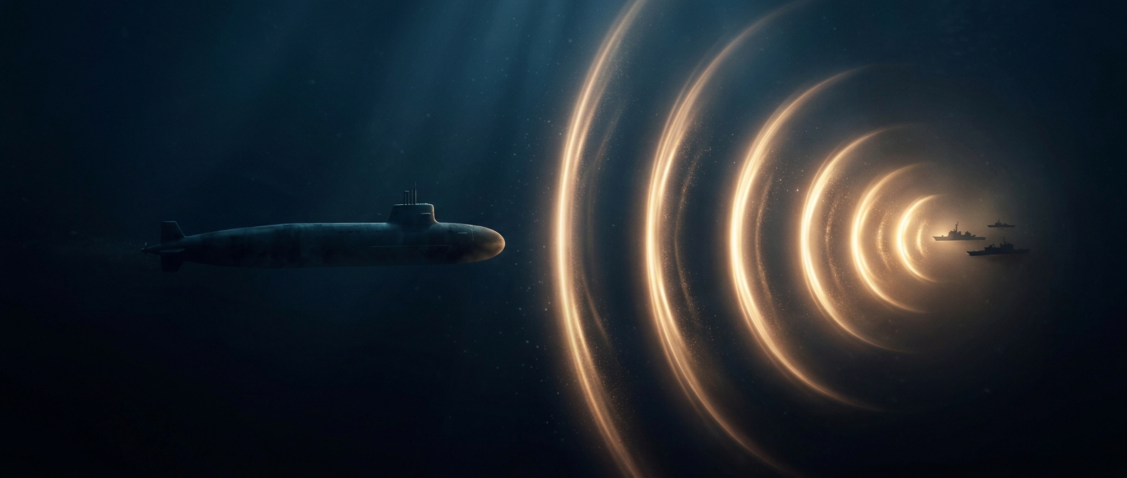
A navigation system cannot steer safely from a route line alone. GPS estimates the tug’s position; radar can detect vessels and other objects by reflecting radio waves; cameras add visual detail that radar may not show clearly. Software combines these inputs into a working picture of what is nearby and how it is moving.
That picture is imperfect. Spray, glare, weather, crowded channels, and objects that are hard to distinguish can complicate detection. The system must continually update its estimates as the tug and surrounding traffic move, rather than treating the crossing as a fixed path.
Following a Route Is Only Part of the Job
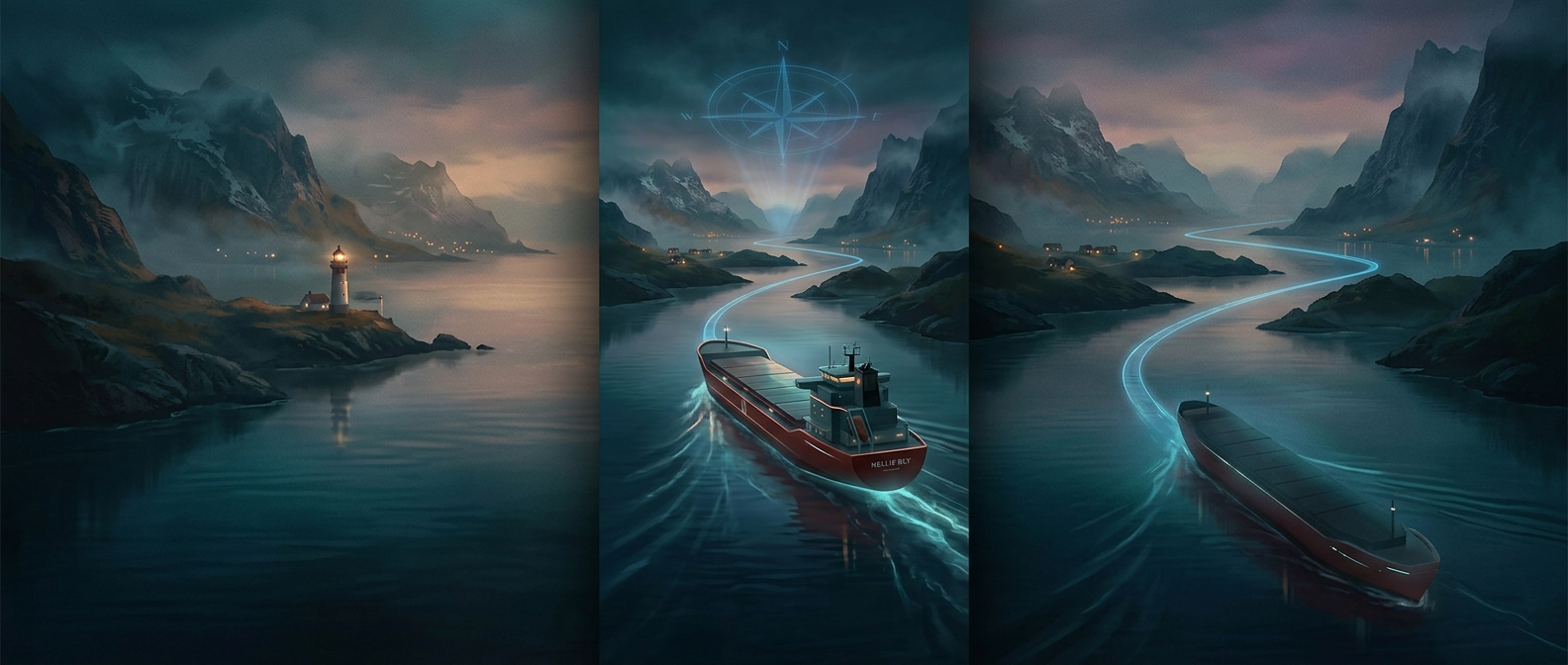
A planned route tells the tug where it is meant to go, but the navigation system also has to adjust its steering and speed as conditions change. In busy water, that means responding to moving traffic while remaining on a safe course—not simply aiming at the next GPS point.
Tugboats make the problem especially consequential. They are working vessels built to maneuver in close quarters, and their movements may need to be deliberate around other boats and confined waterways. If a tug is handling a tow, the attached vessel adds another factor: the whole arrangement cannot turn or stop like a small, unencumbered craft. The route and response have to account for the vessel’s actual operation.
The Shore Operator Is Part of the System
Remote monitoring provides a human layer of judgment. People ashore can watch the operation and respond if the sensors or automated decisions are not enough for a situation. That does not make the crossing manually steered; it means the automated system works within a setup where human oversight remains available.
The important distinction is between an empty helm and an unobserved boat. Automation can handle routine navigation, while people remain responsible for watching for the conditions that make routine decisions unsafe.