The road becomes a chain of clues
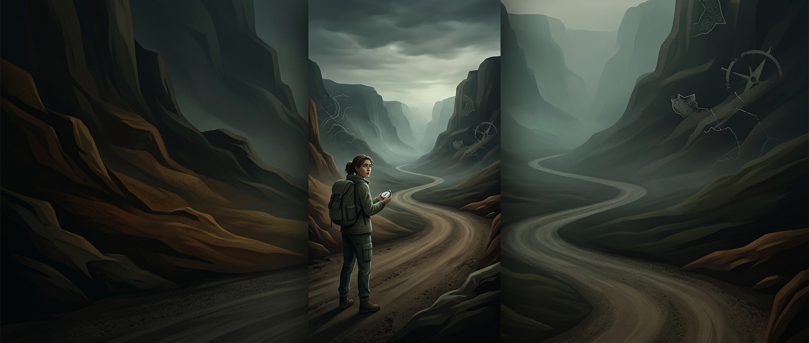
A GeoGuessr round strips away the usual context for a place. There is no destination name or travel itinerary—just a view from a road. The player has to turn visual details into a sequence of increasingly narrow guesses: first a continent or climate, then a country, then perhaps a region or road.
The useful clues are often mundane because they reflect local choices and conditions. Road signs and lane markings can suggest a country; vegetation and soil can point toward a climate; buildings, fences, and utility poles may reveal regional construction habits. None is a perfect label. A pole style can cross a border, and similar landscapes appear far apart, so a strong guess comes from several clues that agree, not one detail that merely looks familiar.
Why the deduction feels like detective work
The puzzle is one of inference under uncertainty. Players compare what they see with what they know, test a hypothesis, and revise it when another clue conflicts. A landscape might suggest one region, while the road signs indicate another. That mismatch is useful: it forces the player to ask which clue is more specific and whether the first impression was too broad.
The map pin makes those deductions consequential. Recognizing a country is only part of the task; the player must translate that recognition into a location on a much larger map. A correct regional hunch can still leave a sizable gap between the guess and the actual road. The game turns overlooked infrastructure into evidence—and rewards the player who treats each ordinary detail as a clue rather than decoration.