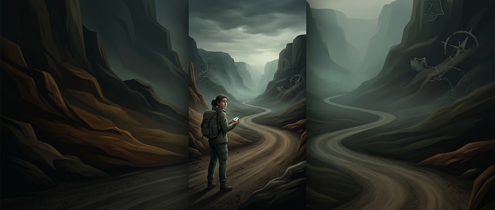
A Dirt Road Is a Bundle of Clues
In a geography-guessing game, a rural road can look almost featureless at first. But the scene is not just “dirt and a bush.” Its details often reflect local conditions: the color and texture of the soil, how water drains off the road, what grows along its edges, and how nearby land is used.
A player reads those details together. A pale, sandy surface suggests something different from red, iron-rich earth; a ditch, roadside berm, or pattern of wheel ruts can hint at rainfall and maintenance. Fences, power poles, and road signs add clues about infrastructure. Any one feature may occur in many places, but combinations can narrow the possibilities.
Why the Sun and Scrubby Plants Matter
Shadows can help establish which way the road runs and where the camera is facing. The sun’s position may also offer a broad clue about hemisphere, but it is not a compass by itself: the time of day and season affect where the sun appears. Players use it to check other evidence, not to name a country on its own.
Vegetation works similarly. A blurred shrub may be hard to identify as a species, yet its shape, density, and relationship to the surrounding landscape can still be useful. The key is pattern recognition: does the whole scene fit a dry plateau, a temperate farming region, or somewhere else?
From Region to Road
The fast guesses come from eliminating mismatches. If the soil, plants, road design, and shadows point in compatible directions, the player can move from a broad region toward a more precise location. A three-second decision is therefore less a miraculous reading of one bush than a compressed comparison of many small signals. On an ordinary-looking road, the landscape itself becomes the map.