Why Stark’s journeys crossed a line
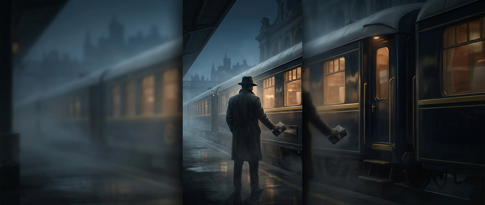
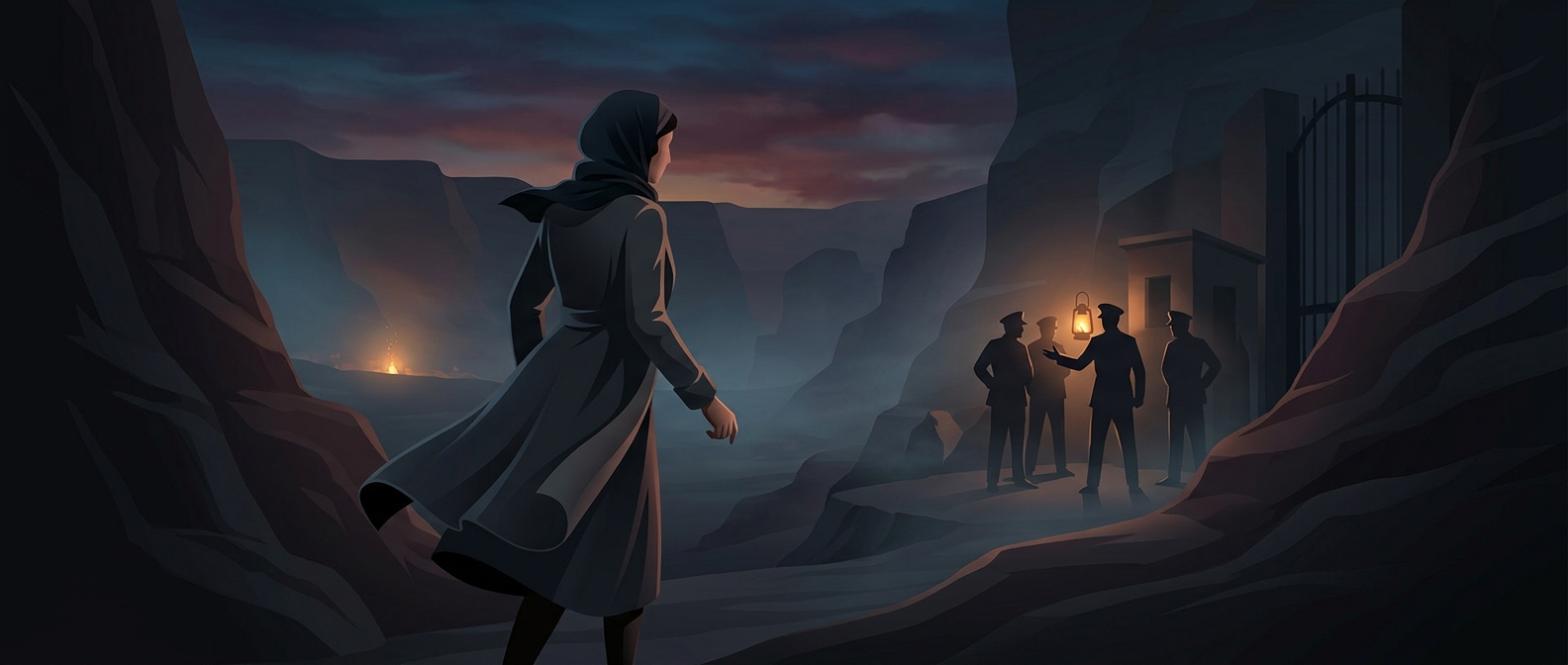
In the early 20th century, a border in the Middle East could be more than a mark on a map: it was a checkpoint controlled by authorities wary of unauthorized movement. A traveler carrying maps, asking about routes, and recording unfamiliar terrain might draw suspicion. Stark’s journeys into restricted areas of Syria and Iran therefore involved a practical risk: guards could stop her, question her, or arrest her for crossing without permission.
Mapping meant making a route usable
The work was not simply to look at a landscape from a distance. To map a remote area, Stark had to travel through it, note how places connected, and determine where roads and passes led. That made movement itself part of the research—and brought her into contact with the people and officials who controlled access.
“Alone” describes the unusual position of a woman undertaking these journeys without a conventional expedition party, not a trip without human help. In unfamiliar country, local knowledge was essential; guides and other people could help a traveler find the way. Yet the responsibility and exposure of entering restricted territory remained hers. The map she brought back was thus also a record of a route she had managed to travel, one checkpoint and difficult passage at a time.