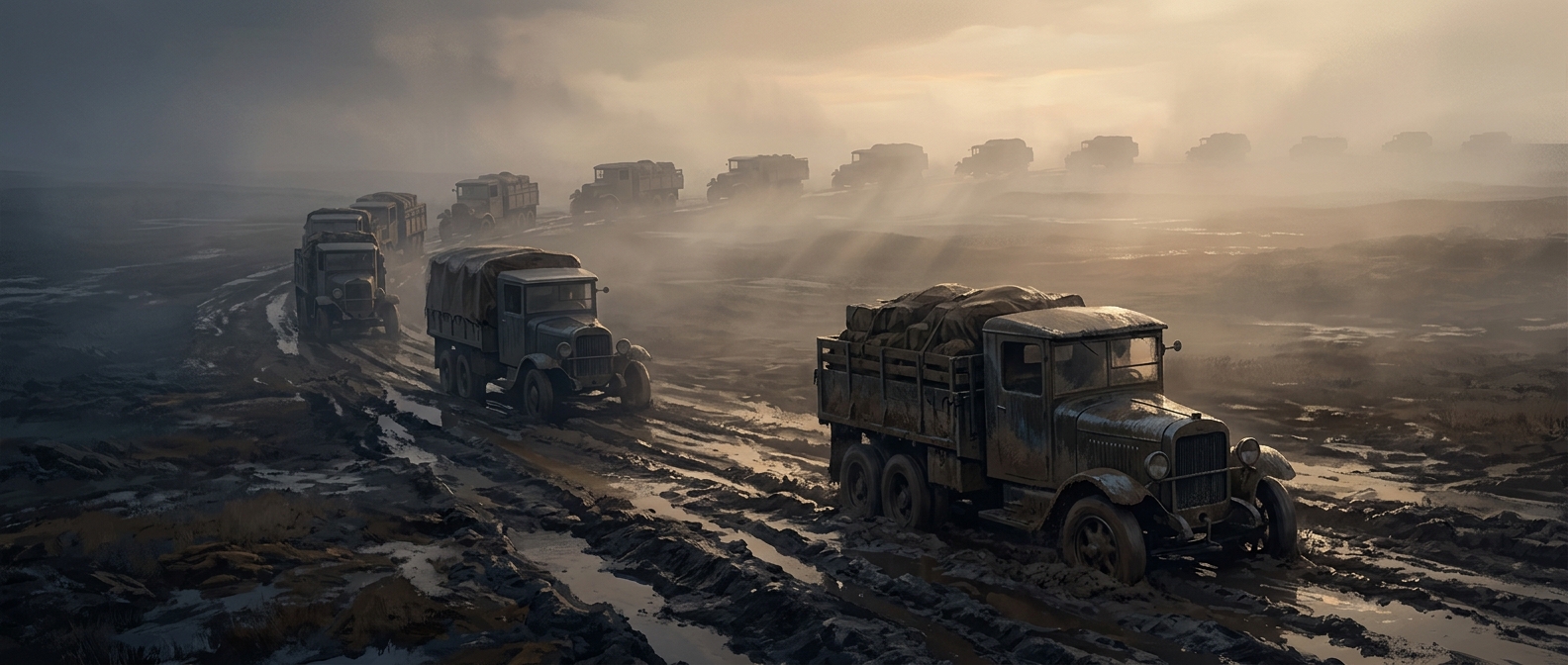
A cross-country test of America’s roads
In 1919, the U.S. Army sent a convoy from Washington, D.C., to San Francisco to find out whether men, supplies, and military vehicles could move across the country by road. The trip was an operational experiment, not simply a long drive: officers recorded the condition of roads and bridges and the difficulties vehicles encountered along the way.
Much of the route followed the Lincoln Highway, a patchwork of roads rather than a continuous, purpose-built highway. That distinction mattered. A truck could make good progress on firm ground, then lose hours in mud or face a bridge too weak to carry its weight. A single bad stretch could slow the entire convoy, because vehicles and supplies had to pass through the same narrow bottleneck.
What the convoy revealed
The journey exposed a problem that ordinary local roads could hide: a road network is only as useful as its weakest links. Military transport depends on predictable movement, but rough surfaces, fragile crossings, and inconsistent road conditions made travel slow and unreliable. The obstacles were not just inconveniences; they showed how infrastructure could limit the Army’s ability to move equipment over long distances.
Among the officers on the trip was Dwight D. Eisenhower. Years later, as president, he backed a nationwide system of modern highways. The convoy was one experience that shaped his thinking, though it was not the only influence behind the project. The Interstate Highway System would eventually make long-distance travel far more continuous, with routes designed for faster, heavier traffic.
The convoy’s lasting lesson was practical: a country could not count on moving people and supplies quickly just because roads appeared on a map. The connections had to be sturdy and dependable all the way through.